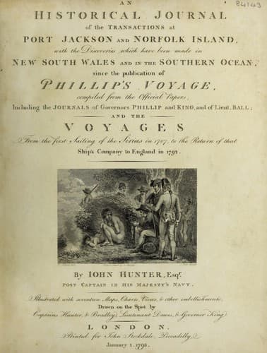
An Historical Journal of the Transactions at Port Jackson and Norfolk IslandHunter, John
History
An Historical Journal of the Transactions at Port Jackson and Norfolk Island
Hunter, John
New South Wales -- History -- Sources
These islands lie in the latitude of 9 deg. 33' north;
longitude 137 deg. 30' east, and are probably a part of the New
Carolines; at least, from the situation of those islands in the
charts, they answer to the place of some of them; but as the New
Carolines are marked as very numerous, and very contiguous to one
another, I did expect to have seen many more; there were of
these, three only; the largest was very high, but not extensive.
From the time of our making these islands until the 23d, when we
were in latitude 11 deg. 56' north; longitude 132 deg. 20' east,
we had light and variable winds, but chiefly from the eastward;
in the above latitude and longitude it inclined to the northward,
and from that to the westward, and became very squally and
unsettled weather, with very heavy rains at times.
During these heavy showers, which were in our situation very
comfortable, whether in the day or night, every one was employed
in spreading his blanket or rug, for the purpose of saving as
much water as he could for his own use; for, as we had no means
of providing a quantity for the general good, every one did the
best he could for himself. The sun being almost vertical, and the
weather exceedingly sultry, the scarcity of water was very much
felt.
It continued this squally and unsettled weather until the
30th, during some part of which time it blew so strong as to
bring the ship under her reefed courses: after the 30th, the wind
shifted to west and west by south, with which we stood to the
south-ward; for with this wind we could not now fetch the Bashee
Islands, and upon the southern tack we could not reach in with
any part of the coast of the Philipine Islands; it was therefore,
in our situation, judged best to keep as near in with the
parallel of Cape Espiritu Sancto as possible, that being the
nearest land, which with a hope of a short spurt of wind from the
eastward, or a slant either from the northward or southward,
would serve to carry us in with the coast: we were then in
latitude 13 deg. 25' north; longitude 128 deg. 37' east; Cape
Espiritu Sancto bearing south 75 deg. 00' west, 58 leagues
distant.
It was very clear to me, from the winds we had experienced
since we came to the northward of the Line, that at this time of
the year, and generally during the height of the south-west
monsoon, in the China seas, these winds do sometimes extend far
to the eastward of the Philipine Islands, and frequently blow in
very heavy gales. The easterly winds, which we had after crossing
the Line, had been constantly so very light, that the run for the
twenty-four hours, seldom exceeded from twenty to fifty
miles.
Public-domain text, read in full here on John Shaqi.
Reviews
Reviews
No reviews yet
Be the first to share your thoughts on this work.
Elsewhere in the archive
Join the Discussion
Join the discussion
Sign in to leave a comment or review.
Sign InorCreate an account