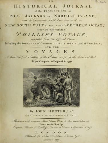
An Historical Journal of the Transactions at Port Jackson and Norfolk IslandHunter, John
History
An Historical Journal of the Transactions at Port Jackson and Norfolk Island
Hunter, John
New South Wales -- History -- Sources
The wind now became very variable, but chiefly from the
south-west quarter. On the 2d of August, it shifted to
west-north-west, and we stood to the south-west. On the 4th, we
made the land, bearing west-south-west twelve leagues; the next
morning, it bore from west-south-west to west, and at noon we saw
it from south-west to west half south; this proved to be the
north end of the island of St. John, and is in latitude 9 deg.
30' north; longitude 126 deg. 32' east. From the 31st of July to
this time, we had been set to the southward one hundred miles.
The wind being again set in at south-west, we could only now
stand to the southward, and avail ourselves of the strong
southerly current which we every day experienced so much
assistance from, and which we had some reason to hope would lead
us to the southward of Mindanao.
If this current should fail us, we could not expect to get to
the southward, but must then have steered along the coast to the
northward, as far as Cape Espiritu Sancto, and enter the Strait
of Manilla, where probably we might have found some settlement,
short of that port, capable of assisting us with such relief as
might have enabled us to proceed on our voyage.
On the 6th, we saw the coast of Mindanao from south to
north-west by west; it is very high land in the interior parts of
the country, but moderately so on the sea-coast, which makes it
rather difficult to judge of your distance from it. The current
to the southward still continued from thirty to fifty miles in
twenty-four hours.
On the 8th, in standing to the southward, we saw an island
bearing south five or six leagues; this, from its situation, must
have been the island of Palmas; it seemed to lie east by south,
sixteen or seventeen leagues distant from the south-east point of
Mindanao; it is a high round hummock at the north-east end, and
runs out in a low point to the south-west, on which are a number
of round lumps or hillocks, that at five leagues distance appear
like rocks just above water. Its latitude is 5 deg. 33' north,
and its longitude is 127 deg. 00' east. Being now to the
southward of Cape Augustine, which we never saw distinctly, we
carried all the sail possible to get to the westward. On the 9th
in the afternoon, the south-east point of Mindanao bore north
20 deg. 00' west, five or six leagues distant.
At day-light the next morning, the coast of Mindanao bore from
west by north to north by east, and a high island west by south,
off shore five leagues: at noon, the south point of Mindanao bore
north 76 deg. 00' west: we intended to have passed to the south
ward of this island, but the wind inclining from that direction,
we could not weather it, we therefore bore away, intending to
pass between it and Mindanao.
Public-domain text, read in full here on John Shaqi.
Reviews
Reviews
No reviews yet
Be the first to share your thoughts on this work.
Elsewhere in the archive
Join the Discussion
Join the discussion
Sign in to leave a comment or review.
Sign InorCreate an account