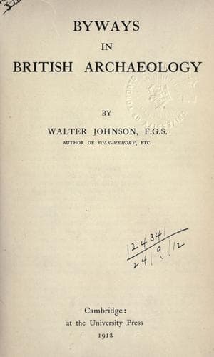
Christian antiquities -- Great Britain; Folklore -- Great Britain; Great Britain -- Antiquities
Seeing that the East and West points are much more clearly marked than
the North and South, one would naturally expect that the ancients found
those points more convenient as standards. To make accurate use of the
North-to-South direction, one would either need to have an approximate
method of determining time by the length of shadows, or to know how to
find the Pole Star or the Great Bear by night. The modern schoolboy is
occasionally taught to reckon his position by facing the East, and long
ago Canon Isaac Taylor suggested that some of the early Aryan peoples
similarly took the East as their standard[834]. According to this
authority, the place-name Deccan is connected with the Latin _dexter_,
the right hand, that is, the right hand as the observer faces the East.
On this view, Deccan would be the right-hand, or South country. As an
analogy, Taylor cites the Arabic word _yemin_, which means both
right-hand and South (whence el-Yemen for Southern Arabia)[835]. These
ideas have received considerable modern support. The Welsh name for
South, _dehau_, like the Old Irish _dess_ (Mod. Irish, _deas_) means
also right-hand[836]. Hence we get _Deheu-dir_, the South land, for
South Wales, and the Brit-Latin adjectives, _dextralis_, Southern;
_sinistralis_, Northern. So, too, the Continental names, Texel and
Teisterbant, are supposed to mean places lying towards the South[837].
Similarly, with the Eskimos, the words used for North and South
correspond with those used for the sides of the body[838]. Other
languages might be cited to show like peculiarities, but it will be
sufficient here to note a few curious instances of folk-memory
illustrative of the root idea.
Public-domain text, read in full here on John Shaqi.
Reviews
Reviews
No reviews yet
Be the first to share your thoughts on this work.
Elsewhere in the archive
Join the Discussion
Join the discussion
Sign in to leave a comment or review.
Sign InorCreate an account