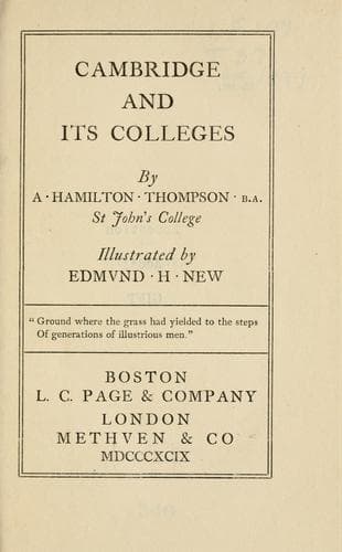
Cambridge and Its CollegesThompson, A. Hamilton (Alexander Hamilton)
History
Cambridge and Its Colleges
Thompson, A. Hamilton (Alexander Hamilton)
University of Cambridge
On the other side of High Street the confusion was even worse. Many
people can remember the days when the broad thoroughfares on either side
of Great St Mary’s were filled with tumble-down houses. This picturesque
and unsanitary state of things was almost the last remnant of medieval
Cambridge. In this rabbit-warren lived many of the tradespeople.
The names of the lanes between High Street and the Market Place are
sufficient testimony. The Sheerer’s Row, north of Great St Mary’s, was
continued by the Shoemaker’s Row, which is now Market Street. The Market
Place was so largely blocked up by this dense mass of houses that it
occupied not more than half of its present site. In its centre was the
Conduit; west of the Conduit was the Cross. The Tolbooth and Prison
were on the south of the space, where the Guildhall is. In front of
the Tolbooth were the shambles, and, east of this savoury neighbourhood
Petty Cury, the Little Cookery, led to Barnwell Gate. From the Market
Place, Peas Hill led, as now, to Bene’t Street, and Bene’t Street led
back to High Street, just where King’s Parade joins Trumpington Street.
Free School Lane, at the back of Saint Bene’t’s Church and Corpus, was
called Luthburgh Lane, and the original buildings of Corpus opened into
this and not into Trumpington Street, as at present. Just before reaching
Pembroke, High Street was brought to a stop by Trumpington Gate, just as
Conduit Street was finished by Barnwell Gate. On the other side of the
King’s Ditch were the Church of St Peter and the foundation of Peterhouse.
Public-domain text, read in full here on John Shaqi.
Reviews
Reviews
No reviews yet
Be the first to share your thoughts on this work.
Join the Discussion
Join the discussion
Sign in to leave a comment or review.
Sign InorCreate an account