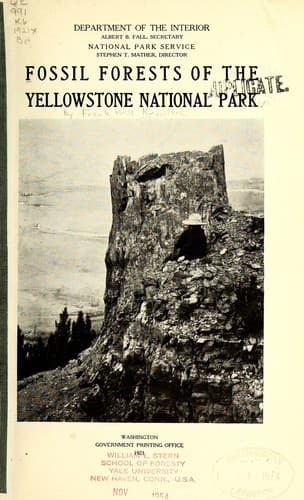
Fossil Forests of the Yellowstone National ParkKnowlton, Frank Hall
Science
Fossil Forests of the Yellowstone National Park
Knowlton, Frank Hall
Paleobotany -- Yellowstone National Park; Petrified forests; Trees, Fossil -- Yellowstone National Park
[Illustration: MAP OF YELLOWSTONE NATIONAL PARK
Norris O Denotes Ranger Station
←Direction of Travel
Distances given are between main points by road
NOTE THE MILE-POST SIGNS]
TOWER FALLS.
The most accessible fossil forest, marked "Petrified Trees" on the map,
is west of the Tower Falls Ranger Station and Camp Roosevelt on the road
from the Grand Canyon to Mammoth Hot Springs, by way of Mount Washburn.
It is on the middle slope of a hill that rises about 1,000 feet above
the little valley and may be reached by a branch road from the main loop
road. As the traveler approaches the forest he will observe a number of
trunks standing upright among the stumps and trunks of living trees, and
so much resembling them that a near view is necessary to convince him
that they are really fossil trunks. Only two rise to a considerable
height above the surface. The larger one is about 15 feet high and 13
feet in circumference (fig. 11): the other is a little smaller. As the
roots are not exposed, it is impossible to determine the position of the
part in view or the original diameter of the trees, as the bark is
nowhere preserved.
[Illustration: Fig. 11.—Fossil trunk near Tower Falls.
Photograph by F. J. Haynes.]
Above these standing trunks lie many others, which the disintegrating
forces of nature break up into small fragments and keep at about the
same level as that of their surrounding matrix. Some of these trunks
rise only a few inches from the surface: others are nearly covered by
shifting débris. Their diameter ranges from 1 to 14 feet, and they are
so perfectly preserved that the rings of growth can easily be counted.
The internal structure is also in most trunks nearly as perfect as when
the trees were living.
CACHE CREEK.
The forest that is next in size to the one a mile southeast of Junction
Butte is on Cache Creek, about 7 miles above its mouth. It is on the
south bank of the creek and covers several acres. The trunks are
scattered from bottom to top of the slopes through a height of probably
800 feet. Most of the trunks are upright, but only a few project more
than 2 or 3 feet above the surface. The largest one observed was 6 feet
in height and 4 feet in diameter. Most of these trunks appear to the
naked eye to be conifers, but a number are obviously dicotyledons—that
is, they were deciduous-leaved trees. The conifers, however, were the
predominant element in this as in the other fossil forests.
The slopes of the Thunderer, the mountain so prominently in view from
Soda Butte on the south, also bear numerous fossil trunks. Most of them
are upright, but only a very few project more than 2 feet above the
surface. No remarkably large trunks were observed at this locality, the
average diameter being perhaps less than 2 feet.
OTHER LOCALITIES.
Public-domain text, read in full here on John Shaqi.
Reviews
Reviews
No reviews yet
Be the first to share your thoughts on this work.
Join the Discussion
Join the discussion
Sign in to leave a comment or review.
Sign InorCreate an account