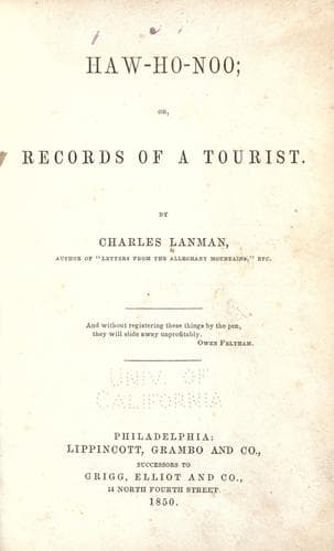
Haw-Ho-Noo; Or, Records of a TouristLanman, Charles
History
Haw-Ho-Noo; Or, Records of a Tourist
Lanman, Charles
Fishing -- North America; United States -- Description and travel
What the distance may be from Washington to the northern line of Accomac
we cannot imagine, but we know that if the morning cars to Baltimore are
punctual, and you are fortunate enough to meet the Whitehaven steamboat
at Baltimore at 8 o’clock, you may enjoy your next breakfast at
Horntown, a few miles south of the Maryland line, and within the limits
of Accomac. On board of the steamer which brought us down the bay, there
was rather a scarcity of passengers but among them were some intelligent
gentlemen, from one of whom we gathered the following items of
information. The entire length of Chesapeake Bay, from Havre de Grace to
Norfolk, is two hundred miles; in width it varies from five to
twenty-six miles, and in depth from four to twenty-four fathoms. Its
shores are low and level, with occasional bluffs, however, and its
waters clear and of a greenish hue. It contains a great number of
islands, some of which are exceedingly fertile, but destitute of all
picturesque beauty. During the autumn and winter its shallower waters
are filled with almost every variety of waterfowl; it is said to yield a
larger quantity of oysters than any other section of the globe of the
same size; and it is also famous for the abundance and quality of its
shad, striped basse or rock-fish, its drum, sheepshead, and a species of
sea-trout. On approaching the Wicomoco river, an island of one thousand
acres was pointed out to us called Bloodsworth Island, which is the
property of two men, who reside upon their domain, a pair of veritable
hermits, who live upon fish and waterfowl instead of cultivating their
soil. Our attention was also directed to a neighboring island, which
seemed to be in a state of high cultivation, and we were told that the
owner thereof had refused the handsome price of one hundred dollars per
acre for the entire island. With regard to Deal’s Island and Dames
Quarter, in this vicinity of the bay, we heard the following anecdote.
The _original_ name of the first was “Devil’s Island,” and that of the
second “Damned Quarter,” as any one may see by referring to some of the
older maps. Once upon a time, as the story goes, a Connecticut skipper
in his smack chanced to make his course up the Chesapeake, and as he was
a stranger in this region, he hailed nearly every vessel or boat he met
with a lot of questions. “What island is that?” inquired the Yankee of a
downward bound brig. “_Devil’s Island_,” was the brief reply; whereupon
the stranger’s conscience was a little disturbed. About an hour
afterwards “What island is that?” again vociferated the skipper; and a
Chesapeake fisherman replied, “_Damned Quarter_.” At this intelligence,
the Yankee was so much alarmed that he immediately made a sudden tack,
and with his helm “hard up” started for the outlet of the bay, and was
never heard of more in southern waters.
Public-domain text, read in full here on John Shaqi.
Reviews
Reviews
No reviews yet
Be the first to share your thoughts on this work.
Join the Discussion
Join the discussion
Sign in to leave a comment or review.
Sign InorCreate an account