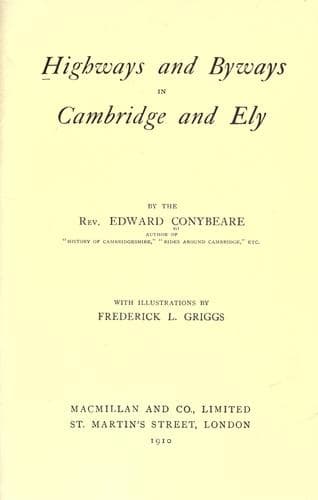
Highways and Byways in Cambridge and ElyConybeare, John William Edward
History
Highways and Byways in Cambridge and Ely
Conybeare, John William Edward
Cambridgeshire (England) -- Description and travel; Isle of Ely (England) -- Description and travel
Treason decided the day against England. The fight began with a
brilliant charge by Edmund at the head of his bodyguard, which crashed
through the Danish phalanx "like a thunderbolt." But his absence from
the English line enabled a traitorous noble, one Edric (who was always
playing into Canute's hands, in hope of thereby making his own
advantage), to raise a cry that the King was slain. A panic set in at
once; and before Edmund could cut his way back, the whole army had
broken, and was being fearfully cut up in its flight by the pursuing
Danes. "And there the whole nobility of England was utterly
destroyed." Edmund died of his exertions the same year; and Canute
became King of England, the first monarch so to call himself. The
native title had always been "King of the English." In thanksgiving he
built a minster on the scene of his victory; and, as he had promised,
he lifted up the head of Edric "above all the nobility of
England"--upon the highest turret of the Tower of London. The "Roman"
theory notwithstanding, the three Bartlow barrows may well be a
memorial of this great fight, and so may the names of Castle Camps and
Shudy Camps which attach to the furthest villages in this far-away
corner of Cambridgeshire. The "Castle," however, of which only the
moat now remains, was built later by De Vere, the first Earl of
Oxford. Shudy Camps has a far-seen church on its lofty brow, visible
even from Barrington Hill, on the other side of the Cam basin, fifteen
miles away as the crow flies.
[Illustration: _Cherry Hinton Church._]
From the Via Devana, where it leaves Cambridge (just after the bridge
over the Great Eastern Railway), there branches off to the left
another road, which leads us to the scenes of earlier battles
between Dane and Englishman. This is the Cherry Hinton Road, named
after the first village along its course, some three miles on. Its
long straight vista suggests at first sight the idea that it too may
be a Roman road. In fact, however, it dates only from the enclosure of
the land (about the beginning of last century), when the best
ploughman in the village was employed, so the story goes, to drive his
straightest furrow across the whole breadth of the Common Field as a
guide for the road-makers. The older track between Cherry Hinton and
Cambridge was by what used to be, till within the last fifty years, a
pretty footpath across the fenny ground to the north of the field. It
is fenny no longer, and the path has become for three-fourths of its
length a somewhat dreary street through the dingy suburb of "Romsey
Town."
Public-domain text, read in full here on John Shaqi.
Reviews
Reviews
No reviews yet
Be the first to share your thoughts on this work.
Elsewhere in the archive
Join the Discussion
Join the discussion
Sign in to leave a comment or review.
Sign InorCreate an account