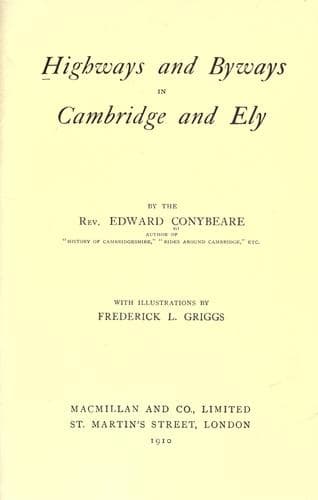
Highways and Byways in Cambridge and ElyConybeare, John William Edward
History
Highways and Byways in Cambridge and Ely
Conybeare, John William Edward
Cambridgeshire (England) -- Description and travel; Isle of Ely (England) -- Description and travel
Having thus come to know something of Ely Minster, we shall feel the
greater interest in all our further explorations through those
highways and byways of the surrounding district over which she
presides with the air of a Mother, and a Queen.
[Illustration: _Willow Walk._]
CHAPTER XVIII
Boundary of Fens.--Roman Works, Car Dyke, Sea Wall,
Causeway.--Archipelago.--Littleport, Agrarian Riots.--Denver
Sluice.--Roslyn Pit.--Fenland Abbeys, Chatteris, Ramsey,
Peterborough, Thorney, Crowland.
The vast Fenland district of which the Isle of Ely is the core
consisted, until the fens were drained, of an archipelago of scattered
islets rising out of a morass, through which the rivers from the
uplands around stagnated in a complex system of waterways, constantly
changing, as one branch or another got silted up and the streams had
to make themselves new channels.
The foreshore of the uplands may still be traced on a contour map, and
is seen to be deeply indented, with bays running in from the fen and
capes running out into it. The southernmost point of the morass was at
Fen Ditton on the Cam, two miles below Cambridge. Its western boundary
went by, Waterbeach, Cottenham, and Willingham, to Earith; thence
through Huntingdonshire to Ramsey and Peterborough; thence, by
Deeping, Holbeach, and Spalding, to the Witham, a few miles below
Lincoln. Throughout all this length ran a Roman earthwork, the Car
Dyke, still existing at many points, evidently thrown up by these
mighty civilisers to keep the floods in check. A like Roman
embankment, of much larger dimensions, is to be seen on either shore
of the great estuary which of old brought the sea-shore as far south
as Wisbech. The eastern boundary of the Fenland needs no such defence,
as on this side the higher ground sinks much more abruptly to the fen
level. It passes from Fen Ditton by Horningsea, Bottisham, Swaffham,
and Reach to Burwell. Here a peninsula projects to Soham, followed by
a deep inlet to Isleham and Mildenhall. Then it runs north and west to
Downham, in Norfolk, and thence due north to the sea by Lynn.
Public-domain text, read in full here on John Shaqi.
Reviews
Reviews
No reviews yet
Be the first to share your thoughts on this work.
Elsewhere in the archive
Join the Discussion
Join the discussion
Sign in to leave a comment or review.
Sign InorCreate an account