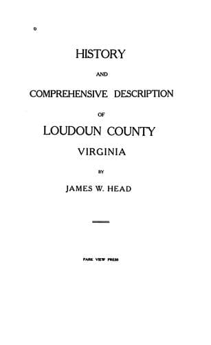
History and Comprehensive Description of Loudoun County, VirginiaHead, James William
History
History and Comprehensive Description of Loudoun County, Virginia
Head, James William
Loudoun County (Va.) -- History
Among the various Cambrian formations of the Catoctin Belt there are
wide differences in uniformity and composition. In none is it more
manifest than in the first or Loudoun formation. This was
theoretically to be expected, for first deposits upon a crystalline
foundation represent great changes and transition periods of
adjustment among new currents and sources of supply. The Loudoun
formation, indeed, runs the whole gamut of sedimentary possibilities,
and that within very short geographical limits. Five miles northwest
of Aldie the Loudoun formation comprises limestone, slate, sandy
slate, sandstone, and conglomerate with pebbles as large as hickory
nuts. These amount in thickness to fully 800 feet, while less than
three miles to the east the entire formation is represented by eight
or ten feet of black slate.
The name of the Loudoun formation is given on account of the frequent
occurrence of all its variations in Loudoun County. Throughout the
entire extent of the Catoctin Belt, and especially through its central
portions, the Loudoun formation has frequent beds of sandstone,
conglomerate, and limestone. The limestones occur as lenses along two
lines; one immediately west of Catoctin Mountain, the other three or
four miles east of the Blue Ridge. Along the western range the
limestone lenses extend only to the Potomac. There they are shown on
both sides of the river, and have been worked in either place for
agricultural lime. Only the refuse of the limestone now remains, but
the outcrops have been extant until recent years. Along the eastern
line the limestone lenses extend across the Potomac and into Maryland
for about one mile, and it is along this belt that they are the most
persistent and valuable. As a rule they are altered from limestone
into marble, and at one point they have been worked for commercial
purposes. Nearly every outcrop has been opened, however, for
agricultural lime. Where Goose Creek crosses this belt a quarry has
been opened and good marble taken out, but want of transportation
facilities has prevented any considerable development. The relation
between marble and schist is very perfectly shown at an old quarry
west of Leesburg. The marble occupies two beds in schist, and between
the two rocks there is gradation of composition. In none of the
western belts are the calcareous beds recrystallized into marbles,
but all retain their original character of blue and dove-colored
limestone. None of them, however, is of great thickness and none of
great linear extent.
Public-domain text, read in full here on John Shaqi.
Reviews
Reviews
No reviews yet
Be the first to share your thoughts on this work.
Join the Discussion
Join the discussion
Sign in to leave a comment or review.
Sign InorCreate an account