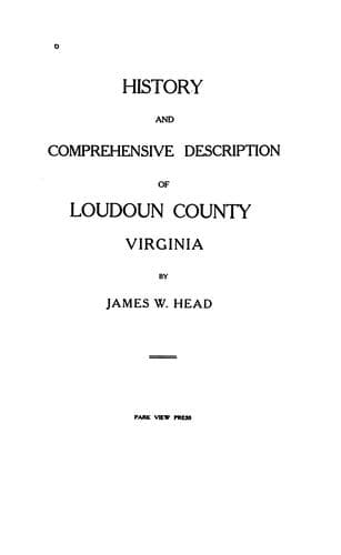
History and Comprehensive Description of Loudoun County, VirginiaHead, James William
History
History and Comprehensive Description of Loudoun County, Virginia
Head, James William
Loudoun County (Va.) -- History
The general grouping of the Loudoun formation into two classes of
deposit (1), the fine slates associated with the Weverton sandstone,
and (2), the course sandstones occurring in deep synclines with no
Weverton, raises the question of the unity of that formation. The
evidence on this point is manifold and apparently conclusive. The
general composition of the two is the same--i. e., beds of
feldspathic, siliceous material derived from crystalline rocks. They
are similarly metamorphosed in different localities. The upper parts
of the thicker series are slates identical in appearance with the
slates under the Weverton, which presumably represent the upper
Loudoun.
A marked change in the thickness of the Weverton sandstone occurs
along Catoctin Mountain, the formation diminishing from 1,000 to 200
feet in a few miles. This plainly indicates shore conditions, and the
nature of the accompanying change of constituent material locates the
direction of the shore. This change is a decrease of the feldspar
amounting to elimination at the Potomac. As the feldspar, which is
granular at the shore, is soon reduced to fine clay and washed away,
the direction of its disappearance is the direction of deep water.
Thus the constitution and thickness of the Weverton sandstone unite in
showing the existence of land not far northeast of Catoctin Mountain
during Weverton deposition.
Aside from this marked change in thickness, none of unusual extent
appears in the Weverton sandstone over the remainder of the Catoctin
Belt. While this is partly due to lack of complete sections, yet such
as are complete show a substantial uniformity. The sections of the
Blue Ridge outcrops range around 500 feet, and those of the Catoctin
line are in the vicinity of 300. This permanent difference in
thickness along the two lines can be attributed to an eastward
thinning of the formation, thus, however, implying a shore to the west
of the Blue Ridge line. It can also be attributed to the existence of
a barrier between the two, and this agrees with the deductions from
the constituent fragments.
_Newark System._
An epoch of which a sedimentary record remains in the region of the
Catoctin Belt is one of submergence and deposition, the Newark or
Juratrias. The formation, though developed in the Piedmont plain,
bears upon the history of the Catoctin Belt by throwing light on the
periods of degradation, deposition, igneous injection, and deformation
that have involved them both.
Public-domain text, read in full here on John Shaqi.
Reviews
Reviews
No reviews yet
Be the first to share your thoughts on this work.
Join the Discussion
Join the discussion
Sign in to leave a comment or review.
Sign InorCreate an account