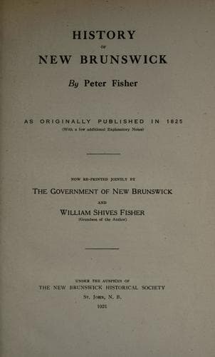
New Brunswick -- Description and travel; New Brunswick -- History
from the source of the river St. Croix to the river Iroquois or
Cataraquy to be surveyed and marked according to the said provisions:
the Commissioners shall make a map of the said boundary, and annex to
it a declaration under their hands and seals, certifying it to be the
true map of the said boundary, and particularizing the latitude and
longitude of the north-west angle of Nova-Scotia, of the
north-westernmost head of Connecticut river, and of such other points
of the said boundary as they may deem proper. And both parties agree to
consider such map and declaration as finally and conclusively fixing
the said boundary. And in the event of the said Commissioners differing
or both or either of them refusing, declining, or wilfully omitting to
act, such reports, declarations, or statements shall be made by them,
or either of them, and such reference to a friendly sovereign or state
shall be made in all respects, as in the latter part of the fourth
article is contained."--The fourth article here alluded to provides
that "such sovereign or state shall decide ex-parte upon the said
report alone, and His Britannic Majesty and the Government of the
United States engage to consider the decision of such friendly
sovereign or state to be final and conclusive on all matters to them
referred."--Notwithstanding these precautions on the part of the Agents
of the two Governments, the points alluded to are not yet ascertained
or settled.
But to resume the description of the river. The St. Croix has two main
branches, one inclines to the eastward, and communicates with a chain
of lakes, some of which are of considerable extent, and lie near a
branch of the Penobscot river. The other turns to the westward. From
this branch there is a route by a succession of lakes and short
portages to the waters that fall into the river St. John. The lands on
the banks of this river are of good quality, and have been well
timbered; most of the pine has been cut off, but there is still
abundance of other timber, consisting of the harder woods, spruce,
firs, &c. There are mills erected on different parts of this river,
which furnish a great quantity of sawed lumber annually.
There are several falls in the river, which obstruct the navigation.
There are, however, several fine settlements along its banks, and the
adjoining country is first improving.
RIVER SAINT JOHN.
This noble river encircles a large portion of New-Brunswick, and may be
considered as the principal drain of those numerous rivers and streams
with which the Province is intersected. Winding in an irregular
semi-circle, it traverses an extent of about five hundred miles, and
falls into the Bay of Fundy nearly in the same parallel of latitude in
which it takes its rise.
Public-domain text, read in full here on John Shaqi.
Reviews
Reviews
No reviews yet
Be the first to share your thoughts on this work.
Join the Discussion
Join the discussion
Sign in to leave a comment or review.
Sign InorCreate an account