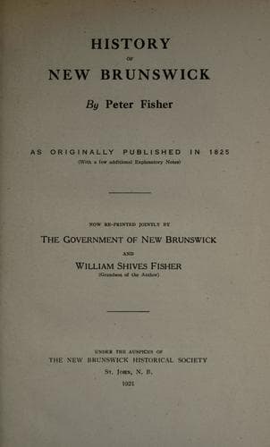
New Brunswick -- Description and travel; New Brunswick -- History
It may not be improper to observe, that most of the rivers and streams
in this country were originally named by the Indians, who generally, by
the names they give, wish to signify something peculiar to the thing
named; consequently the Indian name of this river, which they call
"Looshtook," signifies long river.--It rises from lakes near the head
of Connecticut river, between the 45th and 46th degrees of north
latitude, and stretches to the northward, beyond the 47th degree of
north latitude, where it receives the waters of the Madawaska river,
which rises near the St. Lawrence. It then inclines to the southward,
and continues its course uninterrupted, receiving several large
streams, till it arrives at the Grand Falls, in lat. 46 deg. 54'. Here
its channel is broken by a chain of rocks, which run across the river at
this place, over which its waters are precipitated with resistless
impetuosity. The river, just above the cataract, makes a short bend of
nearly a right angle, forming a small bay a few rods above the
precipice, in which there is an eddy, which makes it a safe landing
place, although very near the main precipice, where canoes pass with
the greatest safety. Immediately below this bay, the river suddenly
contracts. A point of rocks project from the western shore and narrow
the channel to the width of a few rods. The waters thus pent up sweep
over the rugged bottom with great rapidity; just before they reach the
main precipice they rush down a descent of some feet, and rebound in
foam from a bed of rocks on the edge of the fall. They are then
precipitated down perpendicular cliffs of about forty-five feet in
height, into an abyss studded with rocks, which nearly choke the
passage, leaving only a small opening in the centre, through which the
water, after whirling for some time in the bason, rushes with
tremendous impetuosity, sweeping through a broken rocky channel and a
succession of falls for more than half a mile, being closely pent up
with rocks, which in some places overhang the river so as to hide most
part of it from the view of the observer. Trees and timber, which are
carried down the falls, are sometimes whirled round in the bason below
the precipice till they are ground to pieces; sometimes their ends are
tapered to a point, and at other times broken or crushed in different
places. Below the falls there is another small bay with a good depth of
still water, very convenient for collecting timber, &c. after it has
escaped through the falls. Here the canoes and boats from Fredericton
and different parts of the river land, and if bound for Madawaska they
are taken out of the water and carried or drawn, as well as their
loads, across the isthmus to the small bay above the falls before
mentioned, where they are again put in the water, and proceed without
any farther interruption to the upper settlements and the Canada line.
The distance of the portage, including the windings of the road up the
Public-domain text, read in full here on John Shaqi.
Reviews
Reviews
No reviews yet
Be the first to share your thoughts on this work.
Join the Discussion
Join the discussion
Sign in to leave a comment or review.
Sign InorCreate an account