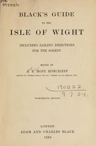
Isle of WightMoncrieff, A. R. Hope (Ascott Robert Hope)
History
Isle of Wight
Moncrieff, A. R. Hope (Ascott Robert Hope)
Isle of Wight (England) -- Description and travel
23. Osborne House 148
24. Whippingham Church 152
_Map at end of volume_
ISLE OF WIGHT
THE ISLAND
_The_ Island, as its people are in the way of styling it, while not
going so far as to deny existence to the adjacent islands of Great
Britain and Ireland--the Wight, as it is sometimes called by old
writers--has for the first fact in its history that it was not always an
island. It once made a promontory of Dorset, cut off from the mainland
by a channel, whose rush of encountering tides seems still wearing away
the shores so as to broaden a passage of half a dozen miles at the most,
narrowed to about a mile between the long spit of Hurst and the
north-western corner of the Island. It may be that what is now a strait
has been the estuary of a great river, flooding itself into the sea,
which, like Hengist and Horsa, is apt to prove an invading ally
difficult to get rid of. _Wight_ is taken to represent an old British
name for the channel, that, by monkish Latinists, came to be christened
_pelagus solvens_; but the Solent may have had rather some etymological
kinship with the Solway.
The Channel Island, as thus its full style imports, has a natural
history of singular interest to geologists, who find here a wide range
of fossiliferous strata, from the Upper Eocene to the Wealden clay, so
exposed that one scientific authority admiringly declares how it “might
have been cut out by nature for a geological model illustrative of the
principles of stratification.” Perhaps the general reader may thank a
writer for not enlarging on this head; but a few words must be said
about the geological structure that shapes this Island’s scenery,
forming, as it were, a sort of abridged and compressed edition of no
small part of England. It divides itself into three zones, which may be
traced in the same order upon the Isle of Purbeck in Dorset. Through the
centre runs a backbone of chalk Downs, a few hundred feet high and an
hour’s walk across at the broadest, narrowing towards either end to
crumble into the sea at the white cliffs of Culver and of the Needles.
To the south of this come beds of sand and marl, through which the chalk
again bulges out in isolated masses on the south coast to top the
highest crests of the Island, resting on such an unstable foundation
that extensive landslips here have thrown the architecture of nature
into picturesque ruin. The north side in general is tamer, a plain of
clays dotted by gravel, better wooded than the rest, though much of its
old timber has gone into the wooden walls of England, once kept in
repair at Portsmouth.
Public-domain text, read in full here on John Shaqi.
Reviews
Reviews
No reviews yet
Be the first to share your thoughts on this work.
Join the Discussion
Join the discussion
Sign in to leave a comment or review.
Sign InorCreate an account