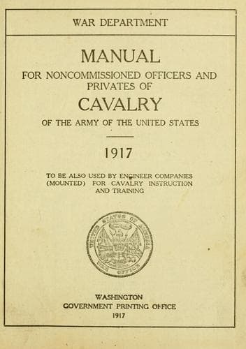
Manual for Noncommissioned Officers and Privates of Cavalry of the Army: of the United States 1917. To be also used by Engineer Companies (Mounted) for Cavalry Instruction and TrainingUnited States. War Department
History
Manual for Noncommissioned Officers and Privates of Cavalry of the Army: of the United States 1917. To be also used by Engineer Companies (Mounted) for Cavalry Instruction and Training
United States. War Department
United States. Army -- Handbooks, manuals, etc.
=365.= The sentinels and detachments of the old guard are at once
relieved by members of the new guard, the two guards standing at ease
or at rest while these changes are being made. The commander of the
old transmits to the commander of the new guard all his orders,
instructions, and information concerning the guard and its duties. The
commander of the new guard then takes possession of the guardhouse and
verifies the articles in charge of the guard.
=366.= If considerable time is required to bring in that portion of
the old guard still on post, the commanding officer may direct that as
soon as the orders and property are turned over to the new guard the
portion of the old guard at the guardhouse may be marched off and
dismissed. In such a case the remaining detachment or detachments of
the old guard will be inspected by the commander of the new guard when
they reach the guardhouse. He will direct the senior noncommissioned
officer present to march these detachments off and dismiss them in the
prescribed manner.
=367.= In bad weather, at night, after long marches, or when the
guard is very small, the field music may be dispensed with.
CHAPTER X.
MAP READING AND SKETCHING.
=Section 1. Military map reading.=
When you pick up a map, the first question is, Where is the north?
This can usually be told by an arrow (see fig. 1, p. 259) which will
be found in one of the corners of the map, and which points to the
true north--the north of the north star.
On some maps no arrow is to be found. The chances are a hundred to one
that the north is at the top of the map, as it is on almost all
printed maps. But you can only assure yourself of that fact by
checking the map with the ground it represents. For instance, if you
ascertain that the city of Philadelphia is due east of the city of
Columbus, then the Philadelphia-Columbus line on the map is a due
east-and-west line, and establishes at once all the other map
directions.
Now, the map represents the ground as nearly as it can be represented
on a flat piece of paper. If you are standing up, facing the north,
your right hand will be in the east, your left in the west, and your
back to the south. It is the same with a map; if you look across it in
the direction of the arrow--that is, toward its north--your right hand
will be toward what is east on the map; your left hand to the west;
the south will be at the bottom of the map.
[Illustration: Fig. 1, 2, 3, 4, 5 and scale.]
There is another kind of an arrow that sometimes appears on a map. It
is like the one in figure 2, page 259, and points not to the true
north but to the magnetic north, which is the north of the compass.
Though the compass needle, and therefore the arrow that represents it
on the map, does not point exactly north, the deviation is, from a
military point of view, slight, and appreciable error will rarely
result through the use of the magnetic instead of the true north in
the solution of any military problems.
Public-domain text, read in full here on John Shaqi.
Reviews
Reviews
No reviews yet
Be the first to share your thoughts on this work.
Elsewhere in the archive
Join the Discussion
Join the discussion
Sign in to leave a comment or review.
Sign InorCreate an account