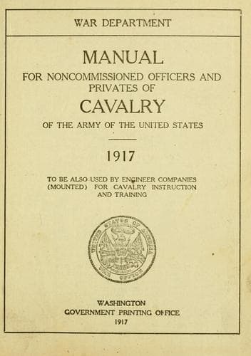
Manual for Noncommissioned Officers and Privates of Cavalry of the Army: of the United States 1917. To be also used by Engineer Companies (Mounted) for Cavalry Instruction and TrainingUnited States. War Department
History
Manual for Noncommissioned Officers and Privates of Cavalry of the Army: of the United States 1917. To be also used by Engineer Companies (Mounted) for Cavalry Instruction and Training
United States. War Department
United States. Army -- Handbooks, manuals, etc.
Should you be curious to know the exact deviation, consult your local
surveyor or any civil engineer.
Both arrows may appear on your map. In that case disregard the
magnetic arrow unless you are using the map in connection with a
compass.
If a map is being used on the ground, the first thing to be done is to
put the lines of the map parallel to the real outlines of the ground
forms, and roads, fences, railroads, etc., that the map shows; for the
making of a map is no more than the drawing on paper of lines parallel
to and proportional in length to real directions and distances on the
ground.
For instance, the road between two places runs due north and south.
Then on the map a line representing the road will be parallel to the
arrow showing the north and will be proportional in length to the real
road. In this way a map is a picture, or better, a bare outline
sketch; and, as we can make out a picture, though it be upside down,
or crooked on the wall, so we can use a map that is upside down or not
parallel to the real ground forms. But it is easier to make out both
the picture and the map if their lines are parallel to what they
represent. So in using a map on the ground we always put the lines
parallel to the actual features they show. This is easy if the map has
an arrow.
If the map has no arrow, you must locate objects or features on the
ground, and on the map, their representations. Draw on the map a line
connecting any two of the features; place this line parallel to an
imaginary line through the two actual features located, and your map
will be correctly placed. Look to it that you do not reverse on the
map the positions of the two objects or features, or your map will be
exactly upside down.
When the map has been turned into the proper position--that is to say,
"oriented"--the next thing is to locate on the map your position. If
you are in the village of Easton and there is a place on the map
labeled Easton, the answer is apparent. But if you are out in the
country, at an unlabeled point that looks like any one of a dozen
other similar points, the task is more complicated. In this latter
case you must locate and identify, both on the map and on the ground,
other points--hills, villages, peculiar bends in rivers, forests--any
ground features that have some easily recognizable peculiarity and
that you can see from your position.
Public-domain text, read in full here on John Shaqi.
Reviews
Reviews
No reviews yet
Be the first to share your thoughts on this work.
Elsewhere in the archive
Join the Discussion
Join the discussion
Sign in to leave a comment or review.
Sign InorCreate an account