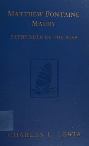
Matthew Fontaine Maury, the Pathfinder of the Seas — John Shaqi
Matthew Fontaine Maury, the Pathfinder of the SeasLewis, Charles Lee
History
Matthew Fontaine Maury, the Pathfinder of the Seas
Lewis, Charles Lee
Maury, Matthew Fontaine, 1806-1873
Not having at that time made a name for himself as a scientist, Maury
thought it wise to seek the support of the National Institute, and
asked that a committee be appointed from its members to wait upon
Secretary of the Navy Upshur and invite his coöperation in authorizing
that these charts be kept on all public cruisers. Such coöperation was,
after a fashion, granted, and Maury drew up a letter of instructions
at the request of the Secretary. But as not much political capital
was to be made of it, the matter ended with the issuing of a set of
instructions to Commodore Biddle who was on the point of sailing
for China in the _Columbus_. Maury then asked permission of the
Bureau of Ordnance and Hydrography to make a chart of the Atlantic
American seaboard. He was ashamed, he wrote, of the meagerness of the
contributions of the United States to the general fund of nautical
science, and called attention to the fact that even the charts used by
an American man-of-war in making her way up the Chesapeake Bay toward
Washington had to be secured from the English Admiralty, and that, if
it were not for the Nautical Almanac of England or some other nation,
absent American ships could not find their way home and those in port
could not lift their anchors and grope to sea with any certainty of
finding their way back again.
At about the same time Maury began the compilation of a chart of the
North Atlantic for the purpose of laying down upon it the tracks of
vessels in all seasons of the year, with the currents, prevailing
winds, temperature of the water, etc. At first, he had the intention
of delineating the track of each vessel on the chart but he soon saw
that it would be impossible to do so on the scale adopted (one inch
to the degree), and he then resorted to the plan of tabulating the
results only instead of marking the track. It was not until the autumn
of 1847 that his researches, which had then extended over nearly five
years, had reached the point where he could publish his first “Wind and
Current Chart of the North Atlantic”. This chart was founded entirely
upon information derived from the old discarded log books of the
Navy Department, for he had not then secured much coöperation in the
acquiring of new data. Maury compared his work in the “quarry of log
books” to that of a sculptor, the single touch of whose chisel does but
little; but finally like the completed piece of statuary the charts
speak for themselves and stand out before the compiler “eloquent with
facts which the philosopher had never dreamed were lurking near”.
Public-domain text, read in full here on John Shaqi.
Reviews
Reviews
No reviews yet
Be the first to share your thoughts on this work.
Join the Discussion
Join the discussion
Sign in to leave a comment or review.
Sign InorCreate an account