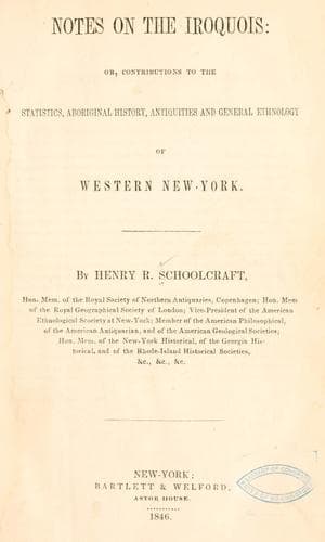
Notes on the Iroquois: or, Contributions to the Statistics, Aboriginal History, Antiquities and General Ethnology of Western New-YorkSchoolcraft, Henry Rowe
History
Notes on the Iroquois: or, Contributions to the Statistics, Aboriginal History, Antiquities and General Ethnology of Western New-York
Schoolcraft, Henry Rowe
Indians of North America -- New York (State); Iroquois Indians
On the right and east side is the deep water course of _Allen’s Creek_,
cut down through the rocks for a mile or more, perhaps one hundred and
thirty feet deep; on the north is that of _Fordham’s Brook_, of nearly
the same depth, which drains a wide swale from the north and northwest;
and on the west is a short and deep ravine, which is a water course
in some seasons of the year, where the waters fall over a precipice a
little south of the quadrangular space, or fortification. This ravine
is not so deep as the water courses on the east and north. The descent
is quite steep on these three sides. At the northeast Allen’s Creek
turns to the east and receives the waters from Fordham’s Brook.
The quadrangular space, D, A, B, C, was enclosed by a trench, D A,
nearly a north line on the east, by A B on the north, and B C on the
west.
[Illustration]
A B is the north trench about sixty rods long, and nearly east and
west. A D is about thirty rods, and B C is fifteen rods, and terminates
at the ravine at C. The trench D A, and A B lies on the brow of the
descent to the streams below. At D the bend of the ravine stops the
trench. At the northwest corner B, a trench is continued about 15° to
the right and down the declivity 15 rods to a spring; 50 feet perhaps
below A B, and B G is the brow of the descent west of the trench at B,
and G C is the edge of the ravine on the west. Q W is Allen’s Creek on
the east; H I K is Fordham’s Brook on the north, and L P M is the water
course on the west to the precipice at M, over which the water falls at
some seasons, and the surface at M is only a few feet lower than the
general level of the quadrangle. The space F was a burying ground, as
bones, skulls, pipes, beads, have been ploughed up there. The road R N
passes through the middle nearly of the space enclosed by the trench,
and at N turns to the right to descend to the flat below; but formerly
the road turned to the right at U and passed down at the right of the
trench at D to T.
The place was pointed out to me by H. M. Ward, Esq., who was familiar
with it when it was covered with the forest. He states that the trench
must have been eight to ten feet deep and as many wide; that the
earth was thrown either way, but much of it inwards; that the forest
trees were standing in the trench and on the sides of it and of the
same apparent age and magnitude as on the ground generally; that the
heart-wood of black cherry trees of large size was scattered over
the ground, evidently the remains of a forest anterior to the then
growth of maple and beech, and that this black cherry was used by the
settlers for timber; that the road, when first made, crossed the trench
at N by a _bridge_; that the trench at D and A was cut down the bank
a few feet, or else in time water had worn a passage from the trench
downwards; that there was no tradition heard of among the Indians of
the country, in respect to the use or design of the work.
Public-domain text, read in full here on John Shaqi.
Reviews
Reviews
No reviews yet
Be the first to share your thoughts on this work.
Elsewhere in the archive
Join the Discussion
Join the discussion
Sign in to leave a comment or review.
Sign InorCreate an account