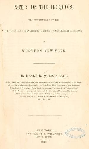
Notes on the Iroquois: or, Contributions to the Statistics, Aboriginal History, Antiquities and General Ethnology of Western New-YorkSchoolcraft, Henry Rowe
History
Notes on the Iroquois: or, Contributions to the Statistics, Aboriginal History, Antiquities and General Ethnology of Western New-York
Schoolcraft, Henry Rowe
Indians of North America -- New York (State); Iroquois Indians
This fort constitutes but a part of the very marked evidences of former
occupancy by man in a civilized state, and in a forgotten age, which
occur in this portion of Onondaga, chiefly in the present towns of
Pompey, Lafayette, Dewitt, Camillus and Manlius. For such of these
evidences as did not pass under my personal notice, reference is made
to letter C in the documentary appendix. Other observed localities and
facts derived from other witnesses, illustrating the character of this
fort, and of the ancient Indian settlements in the Kasonda valley, are
marked H in the annexed sketch.
In this plate B denotes the site of an ancient Onondaga town or
village, immediately on the banks of the stream, where water could be
readily obtained for all purposes. C is the locality of the cemetery
used at the period, on the ascending grounds on the north banks of the
stream. It constitutes a well marked transverse ridge. Immediately west
of it rises a natural mound, marked D, of large size, nearly conical
in its shape, and terminating in a flat surface or plain, of an ovate
border, some twelve by seventeen paces. James Gould, the proprietor
of the land, who, from his residence, guided me to the spot, remarks
that this conical hill, was formerly covered with a hard wood forest,
similar in its species to those of the surrounding country, with the
exception of a spot, some four or five paces diameter on its apex. This
spot was, however, completely veiled from sight by the overtopping
trees until the arcanum was entered. From the peculiar character of
this eminence, and its relative position to the village and burial
ground, it may be supposed to have been the site of the seer’s lodge,
from which he uttered his sacred responses.
Speaking of the old fort of Kasonda, this informant remarked, that when
he came into the country, its outlines could still be traced, that it
was a square fort, with bastions, and had streets within it. It had
been set round with cedar pickets, which had been burned to the ground.
Stumps of these ancient palisades were struck by the plough. It is on
this testimony, which at the same time, denotes a violent destruction
of the work, that the geometrical figure of it, represented in A, is
drawn. He had, I think, been in the revolutionary army, and drawn his
bounty lands, as many of the original settlers on the military tract
had done. He knew therefore, the import of the military terms he
employed.
In a collection of aboriginal antiquarian articles at his house, he
permitted me to make drawings of any taken from the fort grounds, or
disinterred from ancient Indian graves, which appeared to me to merit
it. Of these, but a few are pertinent to the present inquiry. These are
as follows:
Public-domain text, read in full here on John Shaqi.
Reviews
Reviews
No reviews yet
Be the first to share your thoughts on this work.
Elsewhere in the archive
Join the Discussion
Join the discussion
Sign in to leave a comment or review.
Sign InorCreate an account