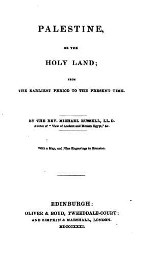
Palestine, or, the Holy Land: From the Earliest Period to the Present TimeRussell, Michael
History
Palestine, or, the Holy Land: From the Earliest Period to the Present Time
Russell, Michael
Palestine -- Description and travel; Palestine -- History
Following the enlightened narrative of Malte Brun, the reader will find
that southward of Damascus, the point where the modern Palestine may be
said to begin, are the countries called by the Romans Auranitis and
Gaulonitis, consisting of one extensive and noble plain, bounded on the
north by Hermon or Djibel-el-Sheik, on the south-west by Djibel-Edjlan,
and on the east by Haouran. In all these countries there is not a single
stream which retains its water in summer. The most of the villages have
their pond or reservoir, which they fill from one of the wadi, or brooks,
during the rainy season. Of all these districts, Haouran is the most
celebrated for the culture of wheat. Nothing can exceed in grandeur the
extensive undulations of their fields, moving like the waves of the ocean
in the wind. Bothin or Batanea, on the other hand, contains nothing except
calcareous mountains, where there are vast caverns, in which the Arabian
shepherds live like the ancient Troglodytes. Here a modern traveller, Dr.
Seetzen, discovered, in the year 1816, the magnificent ruins of Gerasa,
now called Djerash, where three temples, two superb amphitheatres of
marble, and hundreds of columns still remain among other monuments of
Roman power. But by far the finest thing that he saw was a long street,
bordered on each side with a splendid colonnade of Corinthian
architecture, and terminating in an open space of a semicircular form,
surrounded with sixty Ionic pillars. In the same neighbourhood the ancient
Gilead is distinguished by a forest of stately oaks, which supply wealth
and employment to the inhabitants. Peraea presents on its numerous
terraces a mixture of vines, olives, and pomegranates. Karak-Moab, the
capital of a district corresponding to that of the primitive Moabites,
still meets the eye, but is not to be confounded with another town of a
similar name in the Stony Arabia.[8]
The countries now described lie on the eastern side of the river Jordan.
But the same stream, in the upper part of its course, forms the boundary
between Gaulonitis and the fertile Galilee, which is identical with the
modern district of Szaffad. This town, which is remarkable for the beauty
of its situation amid groves of myrtle, is supposed to be the ancient
Bethulia, which was besieged by Holofernes. Tabara, an insignificant
place, occupies the site of Tiberias, which gave its name to the lake more
generally known by that of Genesareth, or the Sea of Galilee; but industry
has now deserted its borders, and the fisherman with his skiff and his
nets no longer animates the surface of its waters. Nazareth still retains
some portion of its former consequence. Six miles farther south stands the
hill of Tabor, sometimes denominated Itabyrius, presenting a pyramid of
verdure crowned with olives and sycamores. From the top of this mountain,
the modern Tor and scene of the transfiguration, we look down on the river
Jordan, the Lake of Genesareth, and the Mediterranean Sea.[9]
Public-domain text, read in full here on John Shaqi.
Reviews
Reviews
No reviews yet
Be the first to share your thoughts on this work.
Join the Discussion
Join the discussion
Sign in to leave a comment or review.
Sign InorCreate an account