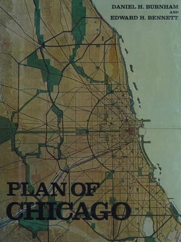
City planning -- Illinois -- Chicago -- History -- 20th century
At the present time the northern limit of this foundation of street
circulation on the Lake front is the water-tower on Chicago Avenue,
and the south limit is the intersection of Twelfth Street and
Michigan Avenue. This avenue or parkway should be made as spacious
as possible along its entire length. It should be wide enough to
provide two broad parallel roadways: one to be used by those who
wish to visit the shops, hotels, or theatres, and the other for the
passage of those who do not care to stop on their way through the
city. Between these roadways should be a broad sidewalk, and the walk
next to the buildings also should be very broad. This roadway should
be made attractive by effective planting. The trees framing the
boulevard may well be of the clipped variety in order to carry out
the architectural effect; and the lamps and other accessories should
be designed so as to give finish and unity to the composition.
The limit of width is fixed by the physical conditions of Michigan
Avenue between Randolph Street and the river. Here the distance
between the west side of Michigan Avenue and the west line of the
Illinois Central property is 246 feet. Michigan Avenue north of
Randolph Street is now 66 feet wide. The business blocks between
Michigan Avenue and Beaubien Court are 130 feet deep, and Beaubien
Court is 50 feet wide; a total of 246 feet. Therefore 246 feet is the
limit of possible width, and this is recommended as the width of the
proposed boulevard connection, every foot of which is part of this
Lake front parkway—the great base of Chicago’s street circulation.
[Illustration: CX. CHICAGO. PLAN OF THE COMPLETE SYSTEM OF STREET
CIRCULATION; RAILWAY STATIONS; PARKS, BOULEVARD CIRCUITS AND RADIAL
ARTERIES; PUBLIC RECREATION PIERS, YACHT HARBOR, AND PLEASURE-BOAT
PIERS; TREATMENT OF GRANT PARK; THE MAIN AXIS AND THE CIVIC CENTER,
PRESENTING THE CITY AS A COMPLETE ORGANISM IN WHICH ALL ITS FUNCTIONS
ARE RELATED ONE TO ANOTHER IN SUCH A MANNER THAT IT WILL BECOME A UNIT.
COPYRIGHT, 1909, BY COMMERCIAL CLUB OF CHICAGO ]
[Illustration: CXI. CHICAGO. PLAN OF THE CENTER OF THE CITY, SHOWING
THE PRESENT STREET AND BOULEVARD SYSTEM.
The proposed additional arteries and street widenings (orange); the
present parks (green); and proposed new parks and playgrounds within
present shoreline (hatched green); the present railway properties,
lines, and stations, and the proposed new stations arranged on a
circuit boulevard (dark blue).
COPYRIGHT, 1909, BY COMMERCIAL CLUB OF CHICAGO ]
[Illustration: CXII. CHICAGO. PROPOSED BOULEVARD TO CONNECT THE NORTH
AND SOUTH SIDES OF THE RIVER; VIEW LOOKING NORTH FROM WASHINGTON
STREET.
Public-domain text, read in full here on John Shaqi.
Reviews
Reviews
No reviews yet
Be the first to share your thoughts on this work.
Elsewhere in the archive
Join the Discussion
Join the discussion
Sign in to leave a comment or review.
Sign InorCreate an account