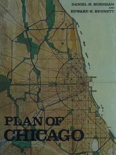
City planning -- Illinois -- Chicago -- History -- 20th century
Chicago. Michigan Avenue, looking towards the south 106
Sketch plan of the intersection of Michigan Avenue and
Twelfth Street 107
Preliminary sketch of the plaza at Michigan Avenue and
Twelfth Street 108
Proposed Twelfth Street boulevard at intersections with
Michigan Avenue and Ashland Avenue 108
Railway station scheme west of the river between Canal
and Clinton streets 108
Alternate railway station scheme west of the river
between Canal and Clinton streets 109
Plan of Grant Park and the harbor 110
Elevation of Grant Park and harbor and the eastern façade
of the city on Michigan Avenue 110
Section looking north, taken through the proposed grand
axis of the city 110
Bird’s-eye view at night of Grant Park 112
Proposed plaza on Michigan Avenue west of the Field
Museum of Natural History 112
The business center of the city, within the first circuit
boulevard 112
Plan of the proposed group of municipal buildings or
civic center 112
Elevation showing the group of buildings constituting
the proposed civic center 112
View, looking west, of the proposed civic center plaza
and buildings 112
Paris. The Place de la Concorde, looking over the Seine towards
the Madeleine 113
Dresden. The Zwingerhof 113
Vienna. The Ringstrasse 114
Rome. St. Peter’s Cathedral 114
Chicago. View of the proposed development in the center of the
city, from Twenty-second Street to Chicago Avenue, looking
towards the east 114
Berlin. Spree Island 115
Chicago. The proposed civic center square 116
Study for the dome of the proposed civic center 118
View eastward to Lake Michigan 119
“The Great Lakes” 124
* * * * *
Public-domain text, read in full here on John Shaqi.
Reviews
Reviews
No reviews yet
Be the first to share your thoughts on this work.
Join the Discussion
Join the discussion
Sign in to leave a comment or review.
Sign InorCreate an account