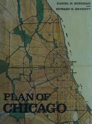
City planning -- Illinois -- Chicago -- History -- 20th century
Chicago. View of Grand Boulevard 92
View of the Lake Shore Drive 92
Plan of the city, showing the general system of boulevards
and parks existing and proposed 93
View of Drexel Boulevard 94
View of Michigan Avenue, looking north 94
Intersection of the three branches of the Chicago River 95
View looking north on the south branch of the
Chicago River 96
View of the south shore looking southeast over Grant Park 98
The proposed plaza on Michigan Avenue 99
Plan of the complete system of street circulation; railway
stations; parks; boulevard circuits and radial arteries;
public recreation piers; yacht harbor, and pleasure boat
piers; treatment of Grant Park; the main axis and the
civic center 100
Plan of the center of the city, showing the present and
proposed street and boulevard system 100
Proposed boulevard to connect the north and south sides
of the river 100
Plan of Michigan Avenue from Twelfth Street to the river,
and its extension on Pine Street to Chicago Avenue 102
Proposed boulevard and parkway on Michigan Avenue and
Pine Street 102
Proposed boulevard on Michigan Avenue; view looking north
from a point east of the Public Library 104
View of Pine Street 105
Paris. View of the Rue de la Paix and the Column Vendôme 105
Public-domain text, read in full here on John Shaqi.
Reviews
Reviews
No reviews yet
Be the first to share your thoughts on this work.
Join the Discussion
Join the discussion
Sign in to leave a comment or review.
Sign InorCreate an account