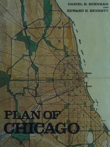
City planning -- Illinois -- Chicago -- History -- 20th century
Beyond McHenry, this outer encircling highway continues on through
Woodstock, Marengo, Genoa, Sycamore, De Kalb, Cortland, Sandwich,
Millington, and Morris; thence it runs beside or near the Kankakee
River through Wilmington, Kankakee, Momence, Shelby, and Maysville,
the scenery along the route being very interesting, and much of it
romantically beautiful. From Maysville the highway bends north through
Valparaiso to Lake Michigan at Michigan City; or by another route
from Maysville through La Crosse, Wellsboro, and La Porte to Michigan
City, the total length from Kenosha around to Michigan City being
approximately two hundred and fifty miles. It is obvious that such a
highway, properly built and adorned, would become a strong influence in
the development of the social and material prosperity of each of the
cities involved, and of all the farming communities along the entire
route.
The encircling highway next inside the outer one above described begins
at Waukegan and passes through Libertyville to Lake Zurich; thence by
two routes, one through Barrington to Elgin, the other bending around
to skirt the Fox River near Algonquin and Dundee to Elgin, and on
through St. Charles, Geneva, and Batavia to Aurora. From Aurora the
highway continues to Plainfield, where it crosses the Du Page River,
thence through Joliet, and by one route through Manhattan, Monee,
Eagle Lake, Cedar Lake, Crown Point, and Hobart, to Lake Michigan; and
by another route from Joliet, through Chicago Heights, Griffith, and
Tolleston to Gary, on the Lake. The highway will be approximately one
hundred and forty miles long, and nearly the whole of the northern
part of it is very picturesque. The next highway proposed goes through
a fine, rolling country west of the Des Plaines River. Beginning at
Winnetka, it runs through Des Plaines, Elmhurst, and Hinsdale to Blue
Island, whence the route divides into two routes, one running through
Harvey and Hammond to Gary, and the other running from Blue Island to
Robey, on the Lake.
The fourth of the encircling highways begins at Evanston, and passes
through Niles or Des Plaines, and along the Des Plaines River to
Riverside; all this part of the way, being wooded on the borders of the
water, is very beautiful in its present condition. From Riverside, this
highway runs through Chicago Ridge to Robey or Blue Island, and from
thence to the Lake, over routes already mentioned.
[Illustration: XL. CHICAGO. GENERAL DIAGRAM OF EXTERIOR HIGHWAYS
ENCIRCLING, OR RADIATING FROM, THE CITY.
All the arteries composing the system without the city limits exist,
except where shown in dotted lines. City limits shown in red tint;
rivers and other waterways in blue.
CHICAGO
GENERAL DIAGRAM OF EXTERIOR
HIGHWAYS
ENCIRCLING AND RADIATING FROM
THE CITY
COPYRIGHT, 1909, BY COMMERCIAL CLUB OF CHICAGO ]
Public-domain text, read in full here on John Shaqi.
Reviews
Reviews
No reviews yet
Be the first to share your thoughts on this work.
Join the Discussion
Join the discussion
Sign in to leave a comment or review.
Sign InorCreate an account