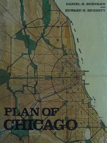
City planning -- Illinois -- Chicago -- History -- 20th century
Transportation problems 139
Control of lands adjacent to public improvements 139
Congested areas 151
Present borrowing and taxing powers 151
Conclusions 154
INDEX 157
LIST OF ILLUSTRATIONS
PAGE
Bird’s-eye view, showing the location of Chicago on the shores of
Lake Michigan, together with the surrounding towns connected with
the city by radiating arteries _Frontispiece_
Wood-cut of Chicago in 1834 1
The World’s Columbian Exposition, Chicago, 1893 2
The Court of Honor, showing effect
of a uniform cornice line 3
Plan showing orderly arrangement
of buildings 5
The Lake Front Park, original plan, 1896 6
Modified plan, 1904 7
The World’s Columbian Exposition; view of the Court of Honor,
looking west 8
The Pyramids at Gizeh 9
The Acropolis at Athens 10
The Greek Theatre at Syracuse, Sicily 10
Plan showing Nero’s Circus at Rome (First Century), Basilica of
St. Peter (Fourth Century), and the present
Cathedral of St. Peter (Sixteenth Century) 11
An ancient Roman circus, near the Appian Way 12
The Ponte Molle, Rome 12
Transformation of the banks of the Seine in Paris 14
Chronological views of the Place de la Bastille, Paris 15
The transformation of Paris under Haussmann: plan showing the
portion executed from 1854 to 1889 16
Paris. Plan proposed by M. Eugene Hénard for additional radial
arteries and an inner circuit boulevard on which would front the
principal existing administrative buildings and many
public monuments 17
Vienna. City center, in 1857, showing the fortifications 19
City center, after transformations made by order of
Francis Joseph in 1857 19
London. Plan of Aldwych and Kingsway connecting Holborn and the
Strand 20
Public-domain text, read in full here on John Shaqi.
Reviews
Reviews
No reviews yet
Be the first to share your thoughts on this work.
Join the Discussion
Join the discussion
Sign in to leave a comment or review.
Sign InorCreate an account