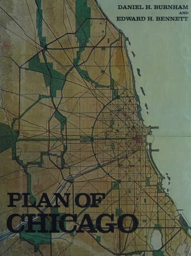
City planning -- Illinois -- Chicago -- History -- 20th century
Chicago. Plan of a park proposed on the main east-and-west axis of
the city at Congress Street and Fifty-second Avenue 56
Plan of a park proposed at Western Boulevard and Garfield
Boulevard, being an extension of Gage Park 57
Plan of a park proposed at the north branch of the
Chicago River and Graceland Avenue 57
Plan of Sherman playground and park 58
Mark White Square 59
Hamilton Park 59
Sherman Park; view of field house 60
Sherman Park; view of swimming pool 60
Diagram of a system of freight handling for land and
water transportation 61
Assembling-interchange; diagrams accompanying the report
of the committee 63
Sketch diagram of docks suggested at the mouth of the
Chicago River 64
Sketch diagram of docks suggested at the mouth of the
Calumet River 65
Diagram of the city and surrounding country, showing
railroad circuits 67
Diagram of the city center, showing the general location
of existing freight yards and railroad lines, the
present tunnel system and proposed circuit, and
connections for all these services, running to the
central clearing yards 69
Diagram of the city, showing complete system of inner
circuits 70
Dresden. Viaduct and railway station (Hauptbahn-hof) passing above
the normal street level 71
Vienna. A railway viaduct passing over an important street 71
Public-domain text, read in full here on John Shaqi.
Reviews
Reviews
No reviews yet
Be the first to share your thoughts on this work.
Join the Discussion
Join the discussion
Sign in to leave a comment or review.
Sign InorCreate an account