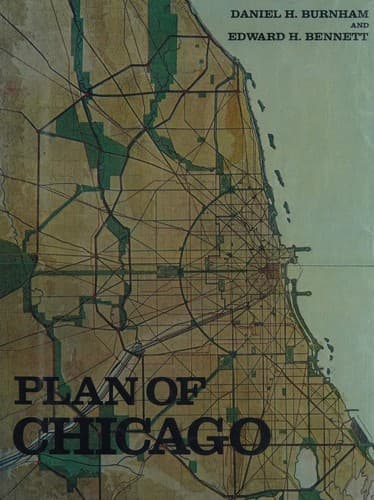
City planning -- Illinois -- Chicago -- History -- 20th century
Chicago. Suggested arrangement of passenger stations west of the
river. Subway scheme 72
Suggested arrangement of passenger stations west of the
river. Overhead scheme 73
Diagram of city center, showing the proposed arrangement
of railroad passenger stations, the complete traction
system, including rapid transit, subway, and elevated
roads, and the circuit subway line 75
Railroad rights-of-way and properties in the center of
city and the existing radial arteries 76
Diagram of general scheme of street circulation and parks
in relation to the areas covered by industries and
manufactures 77
Viaduct at Auteuil over the River Seine, Paris, France 78
Chicago. The center of the city looking west, showing Grant Park,
the harbor, and the civic center 79
Plan of the street and boulevard system present and
proposed 80
View looking west over the city, showing the proposed
civic center, the grand axis, Grant Park, and the harbor 80
Map showing the successive city limits 81
Diagram of general scheme of street circulation and parks
in relation to the population 82
Theoretical diagram of street circulation 83
Existing and proposed diagonal arteries 85
Paris. The Avenue du Bois de Boulogne, looking towards the Arc
de Triomphe 86
The Tuileries Gardens and Champs Élyseés 86
The Champs Élyseés, from the Place de la Concorde 87
View from the Arc de Triomphe along the Avenue du Bois
de Boulogne 87
System of traffic circulation proposed by M. Hénard for public
places 89
Theoretical diagram of the streets of Paris 90
Theoretical diagram of the streets of Moscow 90
Theoretical diagram of the streets of Berlin 91
Theoretical diagram of the streets of London 91
Public-domain text, read in full here on John Shaqi.
Reviews
Reviews
No reviews yet
Be the first to share your thoughts on this work.
Join the Discussion
Join the discussion
Sign in to leave a comment or review.
Sign InorCreate an account