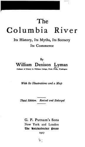
The Columbia River: Its History, Its Myths, Its Scenery, Its CommerceLyman, William Denison
History
The Columbia River: Its History, Its Myths, Its Scenery, Its Commerce
Lyman, William Denison
Columbia River; Columbia River -- Description and travel; Columbia River -- History
Thus was the series of great lakes drained, the level valleys left, and
the Great River suffered to flow in its present course. But there is a
sequel to the story of the flood. For Wishpoosh, being now in the ocean,
laid about him with such fury that he devoured the fish and whales and so
threatened all creation that Speelyei perceived that the time had come to
end it all. Transforming himself into a floating branch, he drifted to
Wishpoosh and was swallowed. Once inside the monster, the wily god resumed
his proper size and power; and with his keen-edged knife proceeded to cut
the vitals of the belligerent beaver, until at last all life ceased, and
the huge carcass was cast up by the tide on Clatsop beach, just south of
the mouth of the Great River. And now what to do with the carcass?
Speelyei solved the problem by cutting it up and from its different parts
fashioning the tribes as each part was adapted. From the head he made the
Nez Perces, great in council and oratory. From the arms came the Cayuses,
powerful with the bow and war-club. The Klickitats were the product of the
legs, and they were the runners of the land. The belly was transformed
into the gluttonous Chinooks. At the last there was left an indiscriminate
mass of hair and gore. This Speelyei hurled up the far distance to the
east, and out of it sprung the Snake River Indians.
Such is the native physiography and anthropogenesis of the land of the
Oregon.
If now one could rise on the pinions of the Chinook wind (the warm south
wind of the Columbia Basin, of which more anon), and from the southern
springs of the Owyhee and the Malheur could wing his way to the snowy
peaks in British Columbia, from whose fastnesses there issues the foaming
torrent of Canoe River, the most northerly of all the tributaries of the
Great River, he would obtain, in a noble panorama, a view of the land
where the River flows, in its present aspect, as fashioned by the
elemental forces of which we have spoken. But not to many is it given thus
to be "horsed on the sightless couriers of the air," and we must needs use
imagination in lieu of them. Even a map will be the safest guide for most.
Inspection of the map will show that the distance to which we have
referred covers twelve degrees of latitude, while the distance from the
source of the Snake River in the Yellowstone National Park to the Pacific
requires a span of fifteen degrees of longitude. The south-eastern part of
this vast area occupying Southern Idaho is mainly an arid plain; arid,
indeed, in its natural condition, but, when touched by the vivifying
waters in union with the ardent sun, it blossoms like a garden of the
Lord. Upon these vast plains where the volcanic dust has drifted for ages,
now looking so dismal in their monotonous garb of sage-brush, the millions
of the future will some time live in peace and plenty, each under his own
vine and apple-tree. On the eastern boundary, all the way from Western
Public-domain text, read in full here on John Shaqi.
Reviews
Reviews
No reviews yet
Be the first to share your thoughts on this work.
Join the Discussion
Join the discussion
Sign in to leave a comment or review.
Sign InorCreate an account