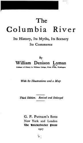
The Columbia River: Its History, Its Myths, Its Scenery, Its CommerceLyman, William Denison
History
The Columbia River: Its History, Its Myths, Its Scenery, Its Commerce
Lyman, William Denison
Columbia River; Columbia River -- Description and travel; Columbia River -- History
Wyoming to Eastern British Columbia, stand cordons of stupendous
mountains, the western outposts of the great Continental Divide. These
constitute one spur after another, from whose profound canyons issues river
after river to swell the torrents of the turbid and impetuous Snake on its
thousand-mile journey to join the Columbia. Among these tributary streams
are the Payette, the Boise, the Salmon, and the Clearwater. Yet farther
north, beyond the system of the Snake, are the Bitter Root, the Missoula,
the Pend Oreille, the Spokane, and the Kootenai (we follow here the
American spelling, the Canadian being Kootenay), with almost innumerable
affluents, draining the huge labyrinths of the Bitter Root Mountains and
the Silver Bow.
Thus our northward flight carries us to the international boundary in
latitude 49 degrees.
Far beyond that parallel stretches chain after chain of divisions of the
great Continental Range, the Selkirks, the Gold Range, Purcell's Range,
sky-piercing heights, snow-clad and glaciated. Up and down these
interlocking chains the Columbia and the Kootenai, with their great lakes
and unexplored tributaries, seem to be playing at hide-and-seek with each
other. These rivers form here one of the most singular geographical
phenomena of the world, for so strangely are the parallel chains of
mountains tilted that the Kootenai, rising in a small lake on the western
flank of the main chain of the Canadian Rockies and flowing south, passes
within a mile of the source of the Columbia at Columbia Lake, separated
only by a nearly level valley. Connection, in fact, is so easy that a
canal once joined the two rivers. From that point of contact the Kootenai
flows far south into Idaho, then makes a grand wheel to the north-west,
forming Kootenai Lake on the way, then wheeling again in its tortuous
course to the west, it joins the greater stream in the midst of the
majestic mountain chains which stand guard over the Arrow Lakes. And
meanwhile where has the Columbia itself been journeying? After the parting
from the Kootenai it flows directly north-west between two stupendous
chains of mountains. Reaching its highest northern point in latitude 52
degrees, where it receives the Canoe River, which has come two hundred
miles or more from the north, it turns sharply westward, finding a
passageway cleft in the mountain wall. Thence making a grand wheel toward
the south, it casts its turbid floods into the long expanse of the Arrow
Lakes, from which it emerges, clear and bright, soon to join the Kootenai.
And how far have they journeyed since they parted? The Columbia about six
hundred miles, and the Kootenai hardly less, though having passed within a
mile of each other, flowing in opposite directions.
Public-domain text, read in full here on John Shaqi.
Reviews
Reviews
No reviews yet
Be the first to share your thoughts on this work.
Join the Discussion
Join the discussion
Sign in to leave a comment or review.
Sign InorCreate an account