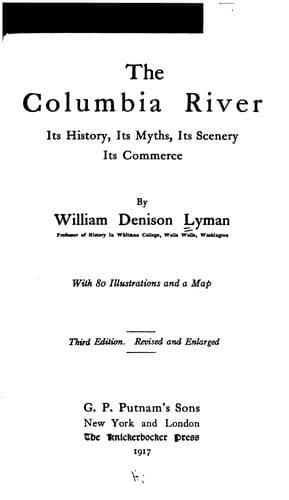
The Columbia River: Its History, Its Myths, Its Scenery, Its CommerceLyman, William Denison
History
The Columbia River: Its History, Its Myths, Its Scenery, Its Commerce
Lyman, William Denison
Columbia River; Columbia River -- Description and travel; Columbia River -- History
It may be said that the population of those parts of Oregon, Washington,
Idaho, Wyoming, and Montana, which are embraced in the watershed of the
Columbia, is probably nearly a million and a quarter. The population of
the area in British Columbia is scanty, but rapidly increasing.
The productive capacity is very great. A rough estimate of production in
the valley of the Columbia for the year 1908 would probably give a grain
production of seventy million bushels, a lumber output of three billion
feet, a mineral output worth sixty million dollars, and a combined output
of pastoral, horticultural, fishing, and miscellaneous industries of fifty
millions of dollars.
Such figures indicate that the Columbia River is already a factor in world
commerce. Yet its development is but begun. What is to be its part in the
world commerce of the future?
Inspection of a map will show that the Columbia possesses the only
water-level route from the vast productive regions of the Inland Empire to
the seaboard. As has been shown in the course of this volume, the River is
navigable throughout the larger part of its course from Revelstoke in
British Columbia to the ocean. In that distance there is one canal, with
locks. That is at the Cascades, sixty-five miles from Portland. Before the
River can be continuously navigable it will be necessary that a canal be
constructed to overcome the obstructions at the Dalles, a few miles above
the city of that name, another at Priest Rapids, seventy miles above
Pasco, and still another at Kettle Falls. The Government is already
engaged in the first of these works. The second seems comparatively near
of accomplishment by reason of work done and projected by a powerful
irrigation company. Nothing has yet been done at Kettle Falls, but it
would be comparatively a light task to provide canal and locks at that
point. Besides these larger obstructions there are several rapids at
points between Kettle Falls and the Dalles which impede navigation at
certain stages of water. The Government has made surveys of these
sections of the River, and has announced that with comparatively small
outlay the rocks and reefs may be removed, the channels deepened and
straightened, and the River made navigable. One thing may be emphasised in
this connection, and this is that the Columbia River has mainly a rocky
bed, and hence work on the channels is permanent. It will not cut and
fill, nor pile up islands and bars as does the Missouri.
In view of the capability of the River to carry great water traffic, and
in view of the fact that railroad traffic is seeking and will still more
seek the down-hill grade to the sea, it becomes a question of great
interest what the future commerce of the River will be.
Public-domain text, read in full here on John Shaqi.
Reviews
Reviews
No reviews yet
Be the first to share your thoughts on this work.
Elsewhere in the archive
Join the Discussion
Join the discussion
Sign in to leave a comment or review.
Sign InorCreate an account