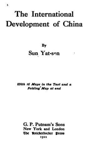
The International Development of ChinaSun, Yat-sen
History
The International Development of China
Sun, Yat-sen
China -- Economic conditions -- 1912-1949; Railroads -- China
w. The Coast Line
This line starts at the Great Northern Port, and follows the Great
Northern Port-Hankow line as far as Chikow, where it begins its own
line. Keeping along the coast, it crosses the Chili border to the
Hoangho Port, in Shantung, then proceeds to Laichow where it takes
a straight cut away from the coast to Chaoyuan and Chefoo, thus
avoiding the projected Chefoo-Weihsien line. From Chefoo it proceeds
southeastward through Ninghai to Wenteng, where one branch runs to
Jungcheng and another to Shihtao. The main line turns southwestward
to Haiyang and Kinkiakow, where it joins the Chefoo-Hankow line, and
follows it as far as the western side of Kiauchow Bay, thence southward
to Lingshanwei. From Lingshanwei the line proceeds southwestward along
the coast to Jichao, and crosses the Shantung border into Kiangsu,
passing Kanyu to Haichow. Thence it proceeds southeastward to Yencheng,
Tungtai, Tungchow, Haimen, and Tsungming Island which will be connected
with the mainland by the regulation works of Yangtze embankment. From
Tsungming trains can be ferried over to Shanghai. This line from Chikow
to Tsungming is about 1,000 miles in length.
x. The Hwoshan-Wuhu-Soochow-Kashing Line
This line starts from Hwoshan to Shucheng and Wuwei, then across the
Yangtze River to Wuhu. After Wuhu it goes to Kaoshun, Liyang, and
Ihing, then crosses over the northern end of Taihu (which will be
reclaimed) to Soochow, where it meets the Shanghai-Nanking line. From
Soochow it turns southward to Kashing on the Shanghai-Hangchow line.
This line runs over very populous and rich districts of Anhwei and
Kiangsu provinces, covering a distance of about 300 miles, which will
form the greater part of the shortest line from Shanghai to Hankow.
PART II
The Southeastern Railway System
This system covers the irregular triangle which is formed by the Coast
line between the Great Eastern and the Great Southern Ports, as the
base, by the Yangtze River from Chungking to Shanghai, as one side,
and by line (a) of the Canton-Chungking Railway as the other side,
with Chungking as the apex. This triangle comprises the provinces of
Chekiang, Fukien, and Kiangsi, and a part respectively of Kiangsu,
Anhwei, Hupeh, Hunan, and Kwangtung. This region is very rich in
mineral and agricultural products, especially iron and coal deposits
which are found everywhere. And the whole region is thickly populated.
So railway construction will be very remunerative.
With the Great Eastern Port and the Great Southern Port and the
second-and third-class ports that lie between the two as termini
of this system of railroads, I propose that the following lines be
constructed:
Public-domain text, read in full here on John Shaqi.
Reviews
Reviews
No reviews yet
Be the first to share your thoughts on this work.
Elsewhere in the archive
Join the Discussion
Join the discussion
Sign in to leave a comment or review.
Sign InorCreate an account