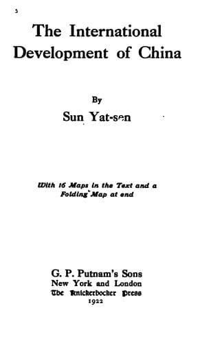
The International Development of ChinaSun, Yat-sen
History
The International Development of China
Sun, Yat-sen
China -- Economic conditions -- 1912-1949; Railroads -- China
This is the ninth line that radiates from the Tungchin railway center.
It starts from the south side of the Nonni-Sungari junction and
proceeds in a southeasterly direction across the plain to Nungan.
After Nungan, it crosses the Itung River and proceeds continuously
in the same direction across several branches of the same river to
Kiudaichan, where it joins the Changchun-Kirin line and proceeds
together as far as Kirin. After Kirin, it goes its own way following
the right bank of the Sungari River in a southeasterly direction to
the junction of Lafaho River and turns southward along the same bank of
the Sungari to Huatien. After Huatien, it continues in the same course
up to Toutaokiang, as far as Fusung, then turns southeastward into the
Sunghsiangho Valley and proceeds upward to the Changpeh Shan watershed
by skirting the south side of the Celestial Lake, then turns southward
following the Aikiang River to Changpeh on the Korean frontier. This
line covers a distance of about 330 miles. Some great difficulties are
to be overcome in the last portion of the line where it crosses the
Changpeh watershed.
j. The Hulutao-Jehol-Peking Line
With this line I shall begin to deal with a new group of the
Northeastern Railway System which will make Hulutao, the ice-free port
on the Liaotung Gulf as their center and terminus. This, the first
line, starts from Hulutao and proceeds westward up the Shaho Valley
to Sintaipienmen. Thence it crosses the mountainous district through
Haiting, Mangniuyingtse, and Sanshihkiatse to Pingchuan, and continues
in the same direction to Jehol or Chengteh. After Jehol, it proceeds
by the old imperial highway to Lwanping, then turns southwestward to
Kupehkow where it penetrates the Great Wall. Thence it follows the same
highway through Miyun and Shunyi to Peking. This line covers a distance
of about 270 miles.
k. The Hulutao-Kerulen Line
This is the second line of the Hulutao radiation. It starts from this
seaport and proceeds northward through the mountainous region of
Jehol by Kienping and Chihfeng. Thence, the line follows the highway
across the Upper Valley of Liaoho to Chianchang, Sitoo, Takinkou, and
Linsi. After Linsi, it proceeds up the Lukiako Valley and crosses the
watershed at the southern extremity of the Great Khingan Mountain,
through Kanchumiao and Yufuchih. Then it proceeds to Payenbolak,
Uniket, and Khombukure where it joins with the Dolon Nor-Kerulen line
and proceeds together to Kerulen. This line up to Khombukure covers a
distance of about 450 miles, tapping a very rich mineral, timber, and
agricultural country.
l. The Hulutao-Hailar Line
Public-domain text, read in full here on John Shaqi.
Reviews
Reviews
No reviews yet
Be the first to share your thoughts on this work.
Elsewhere in the archive
Join the Discussion
Join the discussion
Sign in to leave a comment or review.
Sign InorCreate an account