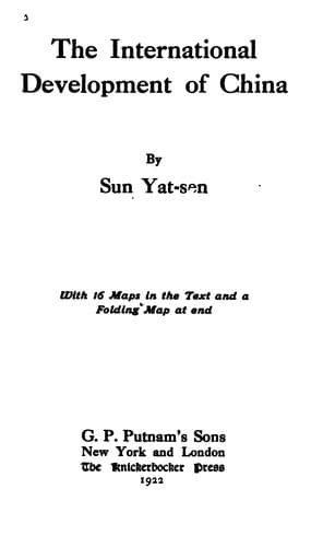
The International Development of ChinaSun, Yat-sen
History
The International Development of China
Sun, Yat-sen
China -- Economic conditions -- 1912-1949; Railroads -- China
This, the third line, starts from Hulutao and proceeds by way of
Chinchow along the west side on the Talingho River to Yichow, where
it crosses the Talingho to Chinghopienmen and Fowsin. After Fowsin,
the line goes northward to Suitung, thence, crossing the Siliaoho to
Kailu, it proceeds between the Great and Little Fish Lakes to Kinpan
and Tachuan. Then it proceeds across the Great Khingan Mountain into
the Oman Valley and follows the same river to Hailar. This line
covers a distance of about 600 miles passing through rich mineral and
agricultural land and virgin forests.
m. The Hulutao-Antung Line
This, the fourth line, starts from Hulutao and proceeding
northeastward, follows the course of the projected Liaoho-Hulutao
Canal, and then goes eastward to Newchwang and Haicheng. From there it
proceeds southeastward to Sinmuchen, where it joins the Antung-Mukden
line and proceeds together to Antung on the Korean border. This
line covers a distance of about 220 miles. This together with the
Hulutao-Jehol-Peking line will make the shortest line from Antung and
beyond, i.e., Korea, to Peking.
n. The Moho-Suiyuan Line
With this as the first I am going to deal with another group of lines
in this system. These will be the circumferential lines which link up
the radii from the Tungchin center in two semicircles, the outer and
the inner. This Moho-Suiyuan line starts from Moho and proceeds along
the right bank of the Amur River to Ussuri, Omurh, Panga, Kaikukang,
Anlo, and Woshimen. After this point, the river bends more southward
and the line follows the same bend to Ankan, Chahayen, Wanghata, and
Huma. From Huma, it proceeds to Sierhkenchi, Chila, Manchutun, Heiho,
and Aigun where it meets the terminus of the Chinchow-Aigun line.
After Aigun, the line turns more eastward to Homolerhchin, Chilirh,
and Korfen where it meets the terminus of the Tungchin-Korfen line.
Thence it proceeds to Wuyun, Foshan, and Lopeh. After Lopeh, it goes to
Hokang at the junction of the Amur and Sungari. At this point, the line
crosses the Sungari River to Tungkiang and proceeds to Kaitsingkow,
Otu, and Suiyuan where it ends. This line covers a distance of 900
miles running all its way through the gold-producing region.
o. The Huma-Chilalin or Shihwei Line
This is merely a branch of the Moho-Suiyuan line. It starts from Huma
and follows the Kumara River passing by the Taleitse Gold Mine and
Wapalakow Gold Mine. Then it proceeds up the Kumara River in a westerly
and southwesterly direction to its southern source and there it crosses
the watershed into the Halarh Valley, thence descending the valley to
Chilalin or Shihwei. This line covers a distance of about 320 miles
running in an extremely rich gold district.
p. The Ussuri-Tumen-Yalu-Coast Line
Public-domain text, read in full here on John Shaqi.
Reviews
Reviews
No reviews yet
Be the first to share your thoughts on this work.
Elsewhere in the archive
Join the Discussion
Join the discussion
Sign in to leave a comment or review.
Sign InorCreate an account