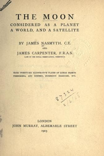
The Moon: considered as a planet, a world, and a satellite.Nasmyth, James
Science
The Moon: considered as a planet, a world, and a satellite.
Nasmyth, James
Moon
may be safely assumed that we cannot perceive the outline of an object
whose average breadth subtends a less angle than a minute.
Arago put this question into another shape:—The moon is distant from us
237,000 miles (mean). A magnifying power of a thousand would show us the
moon as if she were distant 237 miles from the naked eye.
2000 would bring her within 118 miles.
4000 ” ” ” 59 ”
6000 ” ” ” 39 ”
Mont Blanc is visible to the naked eye from Lyons, at the distance of
about 100 miles; so that to see the mountains of the moon as Mont Blanc
is seen from Lyons would require the impracticable power of 2500.
CHAPTER VII.
TOPOGRAPHY OF THE MOON.
It is scarcely necessary to seek the reasons which prompted astronomers,
soon after the invention of the telescope, to map the surface features
of the moon. They may have considered it desirable to record the
positions of the spots upon her disc, for the purpose of facilitating
observations of the passage of the earth’s shadow over them in lunar
eclipses; or they may have been actuated by a desire to register
appearances then existing, in order that if changes took place in after
years these might be readily detected. Scheiner was one of the earliest
of lunar cartographers; he worked about the middle of the seventeenth
century; but his delineations were very rough and exaggerated. Better
maps—the best of the time, according to an old authority—were engraved
by one Mellan, about the years 1634 or 1635. At about the same epoch,
Langreen and Hevelius were working upon the same subject. Langreen
executed some thirty maps of portions of the moon, and introduced the
practice of naming the spots after philosophers and eminent men.
Hevelius spent several years upon his task, the results of which he
published in a bulky volume containing some 50 maps of the moon in
various phases, and accompanied by 500 pages of letter-press. He
rejected Langreen’s system of nomenclature, and called the spots after
the seas and continents of the earth to which he conceived they bore
resemblance. Riccioli, another selenographer, whose map was compiled
from observations made by Grimaldi, restored Langreen’s nomenclature,
but he confined himself to the names of eminent astronomers, and his
system has gained the adhesion of the map-makers of later times. Cassini
prepared a large map from his own observations, and it was engraved
about the year 1692. It appears to have been regarded as a standard
work, for a reduced copy of it was repeatedly issued with the yearly
volumes of the _Connaissance des Temps_, (the “Nautical Almanac” of
France) some time after its publication. These small copies have no
great merit: the large copper plate of the original was, we are told by
Arago, who received the statement from Bouvard, sold to a brazier by a
director of the French Government Printing-Office, who thought proper to
Public-domain text, read in full here on John Shaqi.
Reviews
Reviews
No reviews yet
Be the first to share your thoughts on this work.
Elsewhere in the archive
Join the Discussion
Join the discussion
Sign in to leave a comment or review.
Sign InorCreate an account