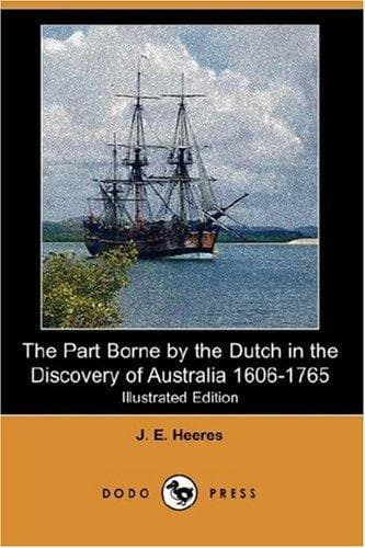
The Part Borne by the Dutch in the Discovery of Australia 1606-1765Heeres, J. E. (Jan Ernst)
History
The Part Borne by the Dutch in the Discovery of Australia 1606-1765
Heeres, J. E. (Jan Ernst)
Australia -- Discovery and exploration; Dutch -- Australia
On the 28th of November 1605 the ship Duifken, commanded by Willem
Jansz., put to sea from Bantam with destination for New Guinea. The ship
returned to Banda from its voyage before June of the same year. What were
the results obtained? What things had been seen by Willem Jansz. and his
men? The journal of the Duifken's voyage has not come down to us, so that
we are fain to infer its results from other data, and fortunately such
data are not wanting. An English ship's captain was staying at Bantam
when the Duifken put to sea, and was still there when the first reports
of her adventures reached the said town. Authentic documents of 1618,
1623, and 1644 are found to refer to her voyage. Above all, the journal
of a subsequent expedition, the one commanded by Carstensz. in 1623,
contains important particulars respecting the voyage of his predecessors
in 1605-6. [*]
[* See pp. 28, 42, 43, 45 _infra_. I trust that these data will go far to
remove COLLINGRIDGE'S doubt (Discovery p. 245) as to whether the ship
Duifken sailed farther southward than 8° 15'.]
On the basis of these data we may safely take for granted the following
points. The ship Duifken struck the south-west coast of New Guinea in
about 5° S. Lat., ran along this coast on a south-east course [*], and
sailed past the narrows now known as Torres Strait. Did Willem Jansz.
look upon these narrows as an open strait, or did he take them to be a
bay only? My answer is, that most probably he was content to leave this
point altogether undecided; seeing that Carstensz. and his men in 1623
thought to find an "open passage" on the strength of information given by
a chart with which they had been furnished. [**] This "open passage" can
hardly refer to anything else than Torres Strait. But in that case it is
clear that Jansz. cannot have solved the problem, but must have left it a
moot point. At all events he sailed past the strait, through which a few
months after him Luiz Vaez de Torres sailed from east to west.
[* As regards the names given on this expedition to various parts of this
coast, see my Life of Tasman, pp. 90-91, and chart No. 3 on p. 5
_infra_.]
[** See pp. 47, 66 _infra_.]
{Page vi}
Jansz. next surveyed the east-coast of the Gulf of Carpentaria as far as
about 13° 45'. To this point, the farthest reached by him, he gave the
name of Kaap-Keerweer [Cape Turn-again]. That skipper Jansz. did not
solve the problem of the existence or non-existence of an open passage
between New Guinea and the land afterwards visited by him, is also proved
by the circumstance that even after his time the east-coast of the Gulf
of Carpentaria was also called New Guinea by the Netherlanders. Indeed,
throughout the 17th and 18th centuries the Dutch discoverers continued in
error regarding this point. They felt occasional doubts on this head [*]
it is true, but these doubts were not removed.
Public-domain text, read in full here on John Shaqi.
Reviews
Reviews
No reviews yet
Be the first to share your thoughts on this work.
Join the Discussion
Join the discussion
Sign in to leave a comment or review.
Sign InorCreate an account