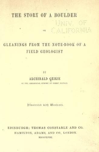
The Story of a Boulder; or, Gleanings from the Note-book of a Field GeologistGeikie, Archibald
Science
The Story of a Boulder; or, Gleanings from the Note-book of a Field Geologist
Geikie, Archibald
Geology; Petrology
He need not burden himself with accoutrements. A hammer, pretty stout
in its dimensions, with a round blunt face and a flat sharp tail; a
note-book and a good pocket-lens, are all he needs to begin with.
Having these, let him seek to learn the general characters' of the
more common rocks, aiding himself, where he can, by a comparison with
the specimens of a museum, or, failing that, with the descriptions of
a text-book. Let him then endeavour to become acquainted with some of
the more characteristic fossils of the district in which he resides,
so as to be able to recognise them wherever they occur. Private
collections and local museums are now becoming comparatively common,
and these, where accessible, will aid him vastly in his studies. Having
at length mastered the more abundant rocks and organic remains of his
neighbourhood, let him try to trace out the connexion of the different
strata across the country, so as to understand its structure. For
this purpose it will be necessary to examine every ravine and natural
exposure of the rocks, along with quarries, ditches, railway-cuttings,
and, in short, the whole surface of the district. A general notion
of the geology of the place will, not perhaps be of very difficult
attainment; and this done, the observer should attempt to put down
the connexion of the rocks on paper, for till this is accomplished he
will have at the best but an imperfect, and perhaps incorrect notion
of the subject. The best map of the district should be obtained, also
a clinometer, or instrument for ascertaining the angle at which rocks
_dip_ with the horizon, and a pocket-compass with which to mark the
direction of the _dip_ and _strike_ of strata, that is, the _outcrop_,
or line which they form when they come to the surface. Thus armed, he
may commence a geological survey of his neighbourhood. Wherever he
sees a bed of rock exposed, it should be marked down on his map with
an arrow pointing to the direction in which the stratum is dipping,
the angle of dip, ascertained by the clinometer, being put alongside.
The nature of the rock, whether sandstone, shale, limestone, or
greenstone, must be set down at the same place, and, to save room,
a system of marks for the different rocks may be conveniently used.
When a sufficient area of ground has been thus traversed, the student
may find, say a row of arrows on his map all pointing due west, and
indicating a set of quarries about a quarter of a mile distant from one
another, the rock in each of them dipping to the west. If there be at
the one end a limestone containing certain fossils, and at the other
end a stratum exactly similar, containing the same fossils, while the
quarries between display the same rock, he will infer, of course, that
the whole is one limestone, and will accordingly draw a line from the
last quarry on the north to the last on the south, connecting them all
together. If the bed dips steeply down, the line will be narrower,--if
Public-domain text, read in full here on John Shaqi.
Reviews
Reviews
No reviews yet
Be the first to share your thoughts on this work.
Join the Discussion
Join the discussion
Sign in to leave a comment or review.
Sign InorCreate an account