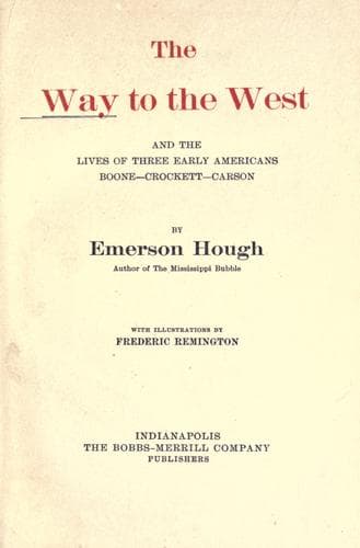
The Way to the West, and the Lives of Three Early Americans: Boone—Crockett—CarsonHough, Emerson
History
The Way to the West, and the Lives of Three Early Americans: Boone—Crockett—Carson
Hough, Emerson
Boone, Daniel, 1734-1820; Carson Kit, 1809-1868; Crockett, Davy, 1786-1836; Mississippi River Valley -- History; West (U.S.) -- History
As to the distances and the direction of the ancient trail, we may
consider it as starting at the old Western town of Independence, on the
Missouri River, and extending properly no farther than the town of Santa
Fé, in New Mexico. Many traders went on down into Old Mexico, as far as
Chihuahua, which city so many of the first adventurers knew against
their will. We have heard of Kit Carson, as a teamster, as far to the
south as Chihuahua, and know that in 1828 he hired out there to Robert
McKnight, one of the long-time prisoners in that city, later prominently
identified with the history of the trail. Different Missouri towns
outfitted parties for the trading to the Southwest, among these
prominently St. Louis, and the less important point of Franklin. We may
consider the Missouri River as our frontier at this epoch, and find most
of our traders among those who lived near the border or were concerned
in business ventures in that neighborhood. Assuredly this talk of the
Santa Fé trade was the first Western bee in the Kit Carson bonnet, while
he was yet a boy in Missouri.
The course of the old trail was astonishingly direct. It left little to
be gained in distance saving, or in the essential qualities of grass and
water, except along the cut-off over the Cimarron desert, which the
travelers would not forego. The first section of the trail, that from
Independence to Council Grove, the place where the wagon trains usually
organized and went into semi-military formation, was over a pleasant,
safe and easy country, a distance of one hundred and forty-three miles,
according to Gregg.
Thence the next stage was to the Great Bend of the Arkansas, in the line
of such modern towns as Galva, McPherson and Great Bend, although
probably it touched the Arkansas at the top of the bend, near the
village of Ellinwood, the first railway station east of Great Bend. This
lies in a region now tamed into a wheat country and settled with
contented farmers, raising crops that have, by the education of the
years themselves, grown fit to endure that high, dry air, on the edge of
the once rainless region. It was two hundred and seventy miles out to
the Bend of the Arkansas, and two hundred and ninety-three miles to the
noted Pawnee Rock, which to-day has a town named for it. Not crossing
the Arkansas as yet, the trail kept down the western leg of the Great
Bend, passed the islands known as the Caches, kept up-stream for a time
to a point twenty miles west of the town now known as Dodge City—the
same “Dodge” so famous in the cattle days—and reached then the ford of
the Arkansas, which Gregg says was three hundred and eighty-seven miles
west of Independence.[35]
Public-domain text, read in full here on John Shaqi.
Reviews
Reviews
No reviews yet
Be the first to share your thoughts on this work.
Elsewhere in the archive
Join the Discussion
Join the discussion
Sign in to leave a comment or review.
Sign InorCreate an account