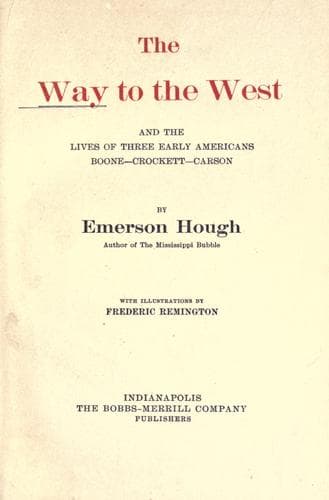
The Way to the West, and the Lives of Three Early Americans: Boone—Crockett—CarsonHough, Emerson
History
The Way to the West, and the Lives of Three Early Americans: Boone—Crockett—Carson
Hough, Emerson
Boone, Daniel, 1734-1820; Carson Kit, 1809-1868; Crockett, Davy, 1786-1836; Mississippi River Valley -- History; West (U.S.) -- History
This was about half way on the journey, and on the border line between
the United States and the Spanish provinces. Gregg makes the jump from
the safe Arkansas to the risky Cimarron a distance of fifty-eight miles,
two or three days’ travel, and without water, as well as without
landmarks. The erstwhile boom town of Ivanhoe, of which one remembers
talk in county-seat wars as far back as 1886, a little town far down in
the dry country, is near the line of the old trail. Reaching the
Cimarron, the trail bent up that doubtful waterway to Cold Spring, five
hundred and thirty-five miles from Independence. There it took another
leap to the southwest, over a country then fairly well known from the
Spanish end of the line, and over a well defined road, which could not
be mistaken.
[Illustration: A RETREAT TO THE BLOCKHOUSE.]
The Wagon Mound was a point of note, situated about six hundred and
sixty-two miles west of the starting point. One might depart thence for
Bent’s Fort on the Arkansas, located in a country very profitable for
traders to keep in view; for above Bent’s famous hostelry on the
mountain branch of the trail lay the yet wilder pack-horse commerce of
the mountain trappers’ rendezvous, far more romantic and profitable, if
less safe and steady than the wagon commerce of the prairies. From the
Wagon Mound to the first settlements of the Mexicans, on the Rio
Gallinas, was an easy stage, and to Santa Fé by this time all roads of
the mountains thereabout pointed. It was seven hundred and eighty miles
to Santa Fé, according to Gregg, the more modern chronicles making it
seven hundred and seventy-five miles, the latter figures being for a
part of the time above, and part of the time under the old Gregg
estimates, which are singularly correct in view of Gregg’s facilities.
The present Santa Fé railway follows the upper or mountain leg of the
old trail, which went on up the Arkansas to Bent’s Fort, and did not
take the leap into the desert. From the Wagon Mound on into Santa Fé the
railway route is practically identical with the old wagon way.
Thus we may see that this great highway, broken midway and deflected to
the southward, was less than one thousand miles in length. There was no
connection, except a rude sort of pack route by way of Taos and the
Colorado River country, between the end of the Santa Fé trail and the
California country. The wagons did not go that way. The later railway
drops down along the Rio Grande valley, just as did the Chihuahua wagon
road; and bends westward far below the old trails of Walker and Jedediah
Smith, who started on their transcontinental voyagings from points
higher up in the mountains than Santa Fé or Taos.
Public-domain text, read in full here on John Shaqi.
Reviews
Reviews
No reviews yet
Be the first to share your thoughts on this work.
Elsewhere in the archive
Join the Discussion
Join the discussion
Sign in to leave a comment or review.
Sign InorCreate an account