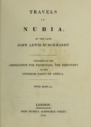
Burckhardt, John Lewis, 1784-1817; Nile River Valley -- Description and travel; Nubia -- Description and travel
_March 8th._ From Seras we ascended a high mountain. The rock,
which had been everywhere sand-stone as far as Wady Halfa, changes
its nature at the second Cataract, where grunstein and grauwacke
predominate; these primitive rocks continue throughout the Batn
el Hadjar. In the mountain beyond Seras are granite, and immense
rocks of quartz: the grunstein rocks are also every where crossed
by strata of quartz. Three or four hours east of our route, a high
chain of mountains extends parallel with the course of the river;
it bears the name of Djebel Bilingo (جبل بَلَنكو), and is
uninhabited: it is regularly visited by winter rains, and the water
remains in the clefts and hollows the whole of the summer. In two
hours and a half we came to a plain on the top of the mountain,
called Akabet el benat (عقبة البنات), the rocks of the
girls. Here the Arabs who serve as guides through these mountains
have devised a singular mode of extorting small presents from the
traveller: they alight at certain spots in the Akabet el benat,
which they call قبضه or مقبضه, and beg a present; if it
is refused, they collect a heap of sand, and mould it into the
form of a diminutive tomb, and then placing a stone at each of
its extremities, they apprize the traveller that his tomb is made;
meaning, that henceforward, there will be no security for him, in
this rocky wilderness. Most persons pay a trifling contribution,
rather than have their graves made before their eyes: there were,
however, several tombs of this description dispersed over the
plain. Being satisfied with my guide, I gave him one piastre, with
which he was content. On the southern descent of Akabet el benat, the
principal rock is micaceous schist and chlorite, and farther down,
towards the Wady Attyre, fine porphyry rocks are met with. I saw
only a few specimens of green porphyry, with red slabs of feldspath;
the greatest part being red porphyry, and porphyry schist. I possess
specimens of all these rocks. From Seras, our route lay S. W. by
S. Four hours and a half, Wady Attyre (التّيره), the principal
village in the Batn el Hadjar. Here again, there are several islands
in the river, with ruins of ancient brick habitations and towers
upon them. The shores seem to have offered little security, even in
ancient times, for I met with no ruined buildings on the eastern
bank of the Batn el Hadjar; the ancient inhabitants seem to have
exclusively chosen the islands for their abode. There is another
cataract in the river at Wady Attyre, and a similar one between
that place and Seras, opposite to Samne, on the west bank. We
continued in the Wady Attyre upwards of an hour. Some date trees
grow in all these Wadys, but the Doum is more common. At five hours,
a wild passage across the mountain begins, called Akabet Djebel
Doushe (عقبة جبل دوشه). From the top of it I enjoyed a
beautiful view of the course of the river to the southward; but its
narrow verdant banks are almost lost in the wide expanse of the
Public-domain text, read in full here on John Shaqi.
Reviews
Reviews
No reviews yet
Be the first to share your thoughts on this work.
Elsewhere in the archive
Join the Discussion
Join the discussion
Sign in to leave a comment or review.
Sign InorCreate an account