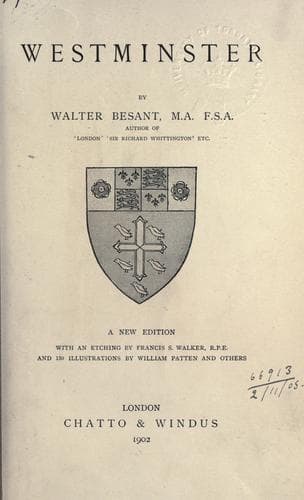
Westminster (London, England) -- Description and travel
The river Thames, which narrowed at London Bridge, began to widen out
west of the mouth of the stream called the Fleet. There was a cliff or
rising bank along the Strand, which confined the stream on its north
bank as far as Charing. At this village the course of the river turned
south, and, after half a mile, southwest. Here it formerly broadened
into a vast marsh or lagoon, quite shallow to east and west, in parts
only covered with water at high tide, and in parts rising above even the
highest tides. This great marsh covered all the land known later as St.
James’s Park, Tothill Fields, the Five Fields, Victoria, Earl’s Court,
and part of Chelsea: on the other bank the marsh extended from
Rotherhithe over Bermondsey, Southwark, Lambeth, Vauxhall, and part of
Battersea. The places which here and there rose above the reach of flood
were called islands; Bermond’s-ea--the Isle of Bermond; Chels-ea--the
Isle of Shingle (Chesil); Thorn-ea--the Isle of Bramble; Batters-ea--the
Isle of Peter. You may find little islands (eyots--aits) just like these
higher up the river, such as Monkey Island, Eelpie Island, and so many
others. No doubt, in very remote times, these little river islets were
secluded places indeed; if any people lived upon them, they lived like
the lake dwellers of Glastonbury, each family in its cottage planted
down in the sedge and mud of the foreshore, resting on piles, with its
floor of hard clay pressed down on timber, its walls of clay and wattle,
its roof of rushes, its boat floating before the door. They trapped elk
and deer and boar, they shot the wild fowl with their slings, they
caught the salmon that swarmed in the river. Thorney, then, the site of
the future abbey, the Isle of Bramble, was an islet entirely surrounded
by the waters of a broad and shallow river. It was so broad that the
backwater extended as far as the present site of Buckingham Palace. It
was so shallow that at low tide a man could wade across from the rising
ground of the west to the island, and from the island to the opposite
shore, where is now St. Thomas’s Hospital.
This is the evidence of the natural situation, and so far all would be
agreed.
2. _Evidence of Excavation._
[Illustration: SARCOPHAGUS OF VALERIUS AMANDINUS.]
Public-domain text, read in full here on John Shaqi.
Reviews
Reviews
No reviews yet
Be the first to share your thoughts on this work.
Join the Discussion
Join the discussion
Sign in to leave a comment or review.
Sign InorCreate an account