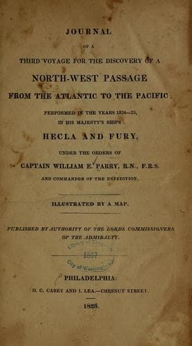
Journal of the Third Voyage for the Discovery of a North-West PassageParry, William Edward, Sir
History
Journal of the Third Voyage for the Discovery of a North-West Passage
Parry, William Edward, Sir
Arctic regions -- Discovery and exploration -- British; Fury (Ship); Hecla (Ship); Northwest Passage
Early on the morning of the 3rd of July, the whole of our stores being
removed, and Lieutenant Pritchard having received his orders, together
with our despatches and letters for England, the _William Harris_ weighed
with a light wind from the northward, and was towed out to sea by our
boats. The day proving calm, we employed it in swinging the _Hecla_, in
order to obtain the amount of the deviation of the magnetic needle, and
to fix afresh the iron plate for correcting it. On the following
morning, the wind being southerly, the pilots came on board, and the
_Hecla_ weighed to run through the north passage; in doing which she
grounded on a rock lying directly in the channel, and having only
thirteen feet upon it at low water, which our sounding boats had missed,
and of which the pilot was ignorant. The tide being that of ebb we were
unable to heave the ship off immediately, and at low water she had sewed
three feet forward. It was not till half-past one P.M., that she
floated, when it became necessary to drop her down between the rock and
the shore with hawsers; after which we made sail, and being soon after
joined by the _Fury_, which came out by the other channel, we stood round
the islands to the northwards. This rock was not the only one found by
our boats which may prove dangerous to ships going in and out of this
harbour, and with which our pilots were unacquainted. Another was
discovered by Mr. Head, about one-third of the distance across from Kron
Prins Island to the opposite shore of the S.E. entrance, and has not more
than eighteen feet water on it at low tide; it lies very much in the way
of ships coming in at that channel, which is the most commonly used. The
latitude of the island, on which the observations were made, called by
the Danes Boat Island, is 74° 28′ 15″; its longitude by our chronometers,
53° 12′ 56″; the dip of the magnetic needle, 82° 53′ 66″; and the
variation, 70° 23′ 57″ westerly. The time of high water, at new moon, on
the 26th of June, was a quarter-past eight, the highest tides being the
third and fourth after the conjunction, and the perpendicular rise seven
feet and a half.
Public-domain text, read in full here on John Shaqi.
Reviews
Reviews
No reviews yet
Be the first to share your thoughts on this work.
Join the Discussion
Join the discussion
Sign in to leave a comment or review.
Sign InorCreate an account